Susan Alcorn’s Backpacking & Hiking Tales & Tips, August 2024

Susan Alcorn’s Backpacking & Hiking Tales & Tips, August 2024


On the Camino del Norte

Contents:
1. Six Moon Designs: Backpacking, hiking, and travel-accessory company to introduce exciting new products on August 12th.
2. Camino interest: How to do the camino in a wheelchair
3. S.F. Bay Area Wheelchair-Fr
iendly Trails 
4. Camino interest: How To Get to Saint Jean Pied de Port (to start your Camino)

5. Wildfires
6. How to select a tent site
7. Camino interest (Regional): Crying on the Camino Day in Sonoma
8. Reader Question: How can I safely hike through an area with grazing cows?

Articles:
#1. Six Moon Designs, a company specializing in backpacking/hiking equipment, is about to make an announcement about an innovative new set of products. Ralph and I were invited to try this new equipment—which we will carry when we walk our next Camino route (the Ingles). We are excited to be able to share the news. I plan to send photos and information about these new product in a special edition of this newsletter on August 12, the release date.  

While you are waiting for these new products to be launched, you might like to read about backpacks so that you can choose wisely. Backpacks (or daypacks) are not all alike and different kinds can be found to suit various uses whether it’s a few miles in the regional parks near you, a two-week backpacking hike on the John Muir Trail, a thru-hike on the Appalachian Trail, or a week or more on a Camino route through Spain, Portugal, France, and more. 

#2.Camino interest: How to do the Camino de Santiago in a wheelchair. Ivar Rekve is someone who most people interested in the Camino soon learn provides many services to pilgrims. He posts informative videos about what’s happening in Santiago, conducts interviews with pilgrims, runs a Facebook forum, and stores items at his Casa Ivar for pilgrims who want to ship items ahead to Santiago  rather than carrying them on their journey.

This summer, Ivar “had a nice conversation with Rob, Betsy and Menisha about their adventures on the Camino de Santiago, and how Rob and Betsy did it in a wheelchair” (actually two wheelchairs!).  You can watch here

Rob and Betsy, and Menisha (Betsy’s full-time caregiver) live here in Oakland. They have been active members of the Northern California Pilgrim group for quite some time.  At some of our events, Rob and Menisha have been able to share some insight–into the challenges and delights of Camino walks–with our local camino group. 

Mentioned in the video: DisCamino in Vigo: https://discamino.org.  https://pushbetsycom.wordpress.com Disability tag on the forum: https://www.caminodesantiago.me/commu…
Discamino’s write up about Rob and Betsy’s trip is here.
T
here services are free!

#3. Regional: East Bay Wheelchair-Friendly Trails. You may be familiar with a few–Mary Bowerman Trail on Mt. Diablo, Marsh Creek Regional Trail, or the new Marsh Loop in Martin Luther King Shoreline, but it might be helpful to know about other options. Look here for ideas.

 #4. How To Get to Saint Jean Pied de Port (to Start Your Camino). This link will take you to the website of American Pilgrims on the Camino where you will find the rest of their recent, excellent article about getting to and home from the best known route, The Camino Frances. 

“The Camino Francés is the most popular Camino route and Saint Jean Pied de Port, France is the second most popular starting point. Last year, over 30,000 people who ended in Santiago chose Saint Jean as the place to begin their pilgrimage.

“This cute little French village doesn’t have an airport and isn’t on a major rail line. In Camino forums and even our own Facebook group, the question of how to get to Saint Jean Pied de Port is frequently asked. If you’re also trying to figure it out, read on for advice on how to sort out your travel logistics.

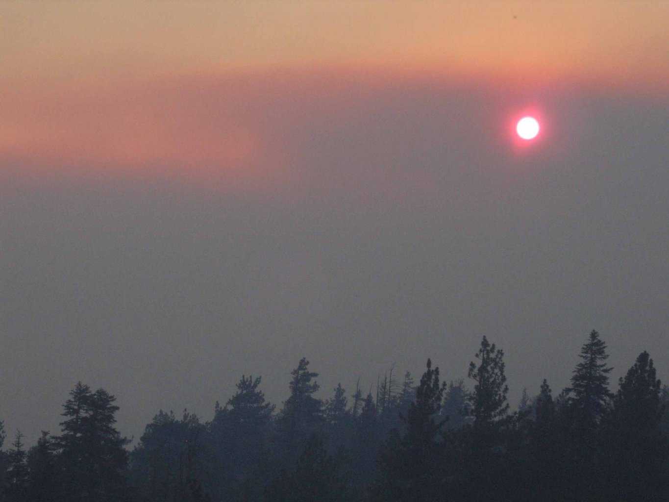
#5. Wildfires and information link here. As you know, there are hundreds of wildfires currently happening in the  U.S. — especially in the West. A link, from the federal government, for seeing where they are, how active the fires are, and more information, is here. Link  here

#6.  How to select a tent-site. Hints for selecting the best site and to follow Leave No Trace guidance. Avoid causing damage to the lovely place you just enjoyed. Pick a site that is:
1.Relatively flat (and not in a depression that will collect water), and off-trail. If there is a slight rise, be sure your head will be higher than your feet.
2.Convenient for water—but following any regulations. A food rule of thumb would be, generally, not within 200 feet of lakes, etc. This can also help you avoid insects such as mosquitoes that prefer still or stagnant water.  
3. Durable surface—think packed earth or a layer of pine needles or leaves rather than a fragile meadow.
4. Protection from weather. Consider from which direction the wind, rain, etc. are moving so that you can shelter. 
5. Forested areas can be great, but avoid solo trees that can be targets for lightning. Look up and see if the nearby trees have been struck previously.
6. Consider the temperature. The bottom of a canyon or valley will be colder than higher elevations.
7. Look at nearby trees, etc. for scratch marks that might indicate bears in the area. Similarly, keep your eyes open for scat.
8. Pick a dry spot—if that’s an option!

#7. Regional: Sonoma, CA. “Crying on the Camino” Day in Sonoma: Saturday, August 10, 2024. Sponsored by American Pilgrims on the Camino, this special day offers a blend of outdoor adventure, local culture, and captivating storytelling. The performance will be held at the historic Sebastiani Theater next to the Sonoma Plaza in the center of town.

The day’s optional pre-show events include:
10:00 AM — Caminata de Sonoma “Start your day with a 6-mile walk around historical downtown Sonoma and the nearby hills. Enjoy the scenic beauty and rich history of this charming town.
12:30 PM — Picnic and Wine Tasting: Gather for a communal picnic and wine tasting near the historic Sonoma Plaza. Relax and indulge in some of Sonoma’s finest wines while mingling with fellow pilgrims.
3:00 PM. The show: Crying on the Camino, a play written and performed by Celeste Mancinelli, a renowned storyteller and performer, brings to life the profound experiences of pilgrims who traverse this ancient path. Through a blend of heartfelt narratives, poignant reflections, and captivating dramatization, she explores themes of self-discovery, spiritual awakening, and the transformative power of the Camino.”

Although the name might make the performance sound sad, Martin Pena of the Nor Cal pilgrim group, who (with the help of Jeanne Wailes, and Laurie Ferris, Chapter Coordinator) has  pulled this day of fun, interesting, and exciting events together says, “I consider it a comedy.  The tag line is “A Journey of Hilarity, Hardship, and Healing.” The performance will be held at the historic Sebastiani Theater next to the Sonoma Plaza in the center of town.

*****Click here to reach the North California pilgrim groups page to order tickets and read more about the bonus (no extra charge) day’s activities. Also info on location, free parking areas, and more. 

**You can also order tickets to the performance here, as well as read more about both the performance and the theater. However, the previous link (above) has all the activities described. Theater info and alternative way to order tickets.  

Event Location and Parking Information: All events will take place adjacent to Sonoma Plaza and Sonoma State Historic Park.Parking: Free all-day parking is available at the public parking lot located at 335 1st St E, Sonoma. Carpooling: Registered participants will have access to an online “Carpool Bulletin Board” to post a message to request or offer a ride.
“Don’t miss this opportunity to connect with the pilgrim community, explore Sonoma’s historic sites, and experience a moving theatrical portrayal of the Camino. Mark your calendars and join us for a day filled with inspiration, camaraderie, and cultural enrichment.”

#8. Reader Question: How to safely hike through an area with grazing cows?  Mary, who lives in the S.F. Bay Area, recently wrote to ask how she could hike with cows nearby. Her background info:
“I recently had multiple bad experiences with cows locally at Lynch Canyon  [near Fairfield], and when I went to Switzerland, of walking through a field where the cows were blocking the hiking path.

“I understand that special caution is required if there seems to be a mother and calf. Regardless, I don’t think this was ever the case for me and I have never approached cows. Once a cow stamped and started running towards me – luckily, I got to the gate in time to let myself out and it followed me along the fence moo-ing and acting quite angry when I did nothing to it.

“In another instance the cows were all staring at me and seemed on alert when I was walking by and indeed started to follow me. At one point I had 12 cows surrounding me. They gathered around while I was hiding under a fence and eventually, they went away after 30 minutes, but they were quite close and trying to eat my bag. I know some people approach cows and pet them. My theory is this behavior is making cows unafraid of humans and they now approach humans (expecting food?).

“Anyway, my fear is genuinely debilitating and I’m fearful of hiking alone and meeting cows. I wasn’t this way until a few weeks ago when I had a series of unfortunate experiences while hiking alone in Switzerland. When I tell people, their first reaction is to laugh. And I agree, it is comical and silly. Then people recommend therapy – but how do I get therapy to cure my bovinophobia?”

“Thanks, Susan and deep appreciation for your work to encourage exploration of the outdoors by foot.”

SO, readers, do you have suggestions to offer for those who love to hike, but feel intimidated by cows?  If so, please send them to me at backpack45@yahoo.com

********
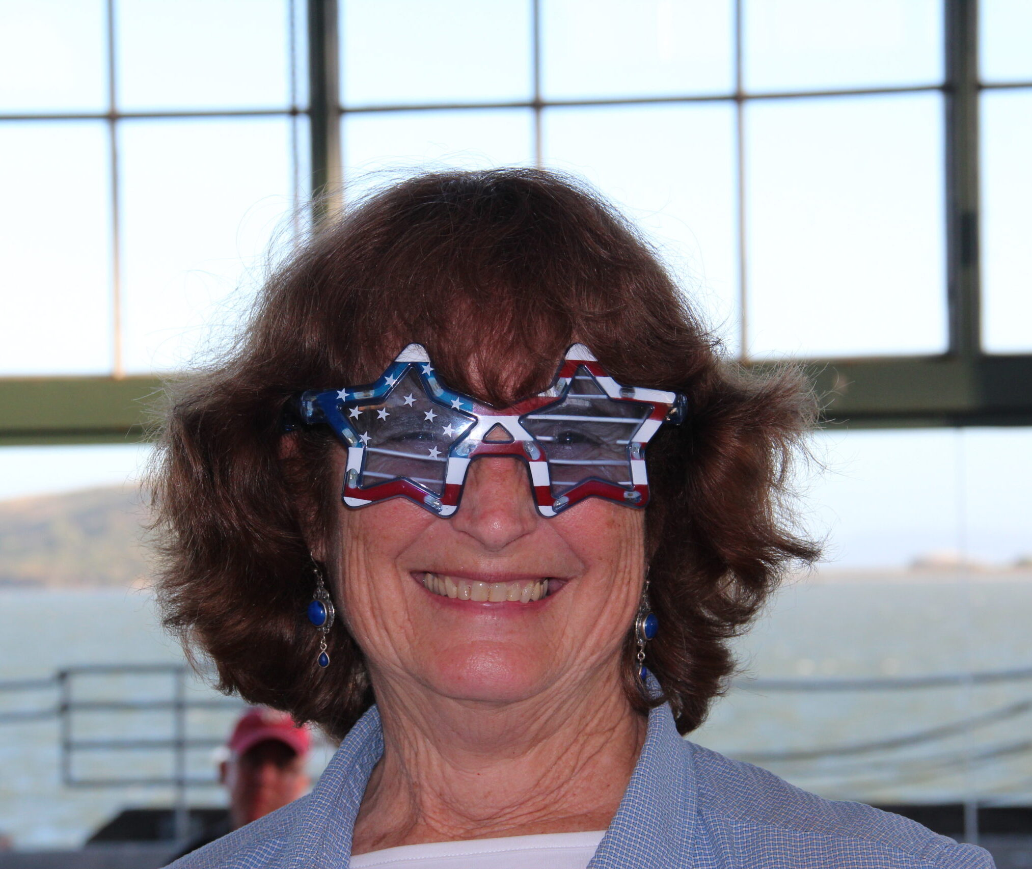
Susan ‘backpack45’ Alcorn
Shepherd Canyon Books, Oakland, CA
https://www.susandalcorn.com
https://www.backpack45.com

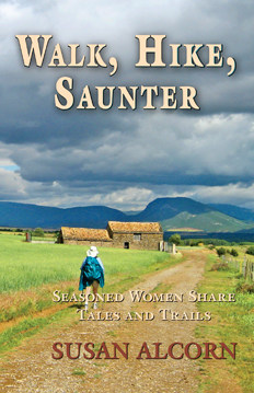
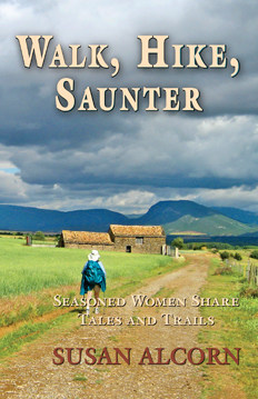
Author of Walk, Hike, Saunter: Seasoned Women Share Tales and Trails; Healing Miles: Gifts from the Caminos Norte and Primitivo; Patagonia Chronicle: On Foot in Torres del Paine; We’re in the Mountains Not over the Hill: Tales and Tips from Seasoned Women Backpackers; and Camino Chronicle: Walking to Santiago.

Thank you everyone. Stay well, keep hiking when prudent. I encourage you to send in items of interest to the hiking community to me at backpack45 “at sign” yahoo.com

Please note: Hiking and backpacking can be risky endeavors. Always be prepared for emergencies and carry food, water, shelter (warm clothing, etc.), flashlight/headlamp, matches, first aid supplies, and maps. Cell phones don’t always work. Leave word where you are traveling and when you are due back.

I’d be sad to see you go. But if you want to, you can unsubscribe from here: https://susandalcorn.com/?es=unsubscribe&hash=eyJtZXNzYWdlX2lkIjoiOTUiLCJjYW1wYWlnbl9pZCI6IjkzIiwiY29udGFjdF9pZCI6IjEzMzYiLCJlbWFpbCI6ImJhY2twYWNrNDVAeWFob28uY29tIiwiZ3VpZCI6Im91cXJhbC16dnBybXUtZXRnd3l4LWVza2NoZC10amJkc3oiLCJsaXN0X2lkcyI6IiIsImFjdGlvbiI6InVuc3Vic2NyaWJlIn0


Susan Alcorn’s Backpacking & Hiking Tales and Tips, July 2024

Susan Alcorn’s Backpacking & Hiking Tales and Tips, #294 July 2024

HAPPY JULY 4th! Both Ralph and I just got hit with COVID (for the first time!), we won’t be celebrating, but we sure have in the past! 

It sure would be fun to read them,  so I encourage you to send in items of interest to the hiking community. 

Contents:
1.PCTA has an app now!
2.The newly-minted “Capital to Tahoe Trail”
3.Ticks
4.Keeping Your Cool
5.J
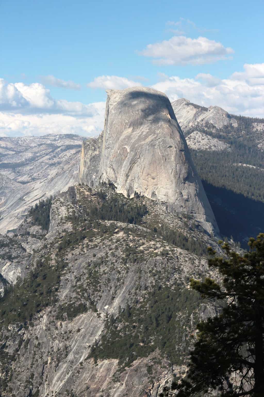
ohn Muir Trail Hikers: How to reach Yosemite NTL park trailheads via public and private carriers.
6.Much is coming up with ALDHA-West.

Articles:
#1. The 
Pacific Crest Trail Association (PCTA) has launched the PCT Closures App. June 25. “We are thrilled to announce the launch of a brand-new smartphone app and website at closures.pcta.org designed for all who love the PCT. It’s free to use and can provide “critical trail closures and ‘trip-altering” updates along the PCT.” What’s closed, destroyed, or on fire is perhaps the most important information you can have.”

“The PCT Closures App is available for download on both the Apple App Store and Google Play Store. The website version is live now as well – check it out. Plan ahead and prepare, and check for updates often. Your trip, and your life might depend on it.” Download here: https://www.pcta.org/blog/

#2. A new side trail/quests is now open to PCT hikers. The 16-mile Capital to Tahoe Trail provides adventure seekers access to an incredible trail system in the Sierra Nevada mountains. “Eight years in the making—the trail is a gateway from Carson City, Nevada, to the Tahoe Rim Trail, connecting to the Pacific Crest Trail.”

“The quest from Carson City to Canada is estimated to take two to three months. “The Capital to Tahoe Trail provides the first non-motorized singletrack connection from Carson City, NV to the Tahoe Rim Trail and trails in the Lake Tahoe region. From the steps of the Capitol building in Carson City, a hiker is now able to quickly reach a singletrack trail that could take them on an incredible journey of 1,152 miles to Mexico or 1,606 miles to Canada.

The trail required partnerships from Carson City, Nevada Division of State Parks, USDA Forest Service and private property owners. Muscle Powered, the nonprofit organization responsible for the creation of the trail, will be formally recognized for this achievement on March 6, 2024 in Washington, D.C.”

#3. More about ticks: Last issue, I wrote about our recent experience with ticks—namely warning that they are out there. Here is what to do after a tick bite–including how to remove a tick. For more general info from the CDC, go here.  

#4. Keeping Your Cool. Many places in the U.S. are extremely hot right now. That’s not the ideal weather for hiking in my opinion—and according to many sources, it can be extremely risky to hike when temperatures climb. However, there is much you can do to mitigate the situation.

According to Hike OnRecent studies have shown that the optimum temperature range for long-distance walks or hikes is 50 to 55 degrees F. Above this range is considered hiking in hot weather, when a hiker’s performance degrades as much as two percent for every five-degree increase in temperature.”

According to Penn State: Age matters: “Studies have shown—when you look at the statistics, most of the people who die during heat waves are older people,” W. Larry Kenney, professor of physiology and kinesiology at the school said, “The climate is changing, so there are going to be more — and more severe — heat waves. The population is also changing, so there are going to be more older adults. And so it’s really important to study the confluence of those two shifts.”

“… young, fit, healthy people tend to tolerate heat better,” “Kenney said. “Older people, people on medications, and other vulnerable populations will likely have a tolerance limit below that.”

“However, because “humans adapt to heat differently depending on the humidity level, there is likely not a single cutoff limit that can be set as the “maximum” that humans can endure across all environments found on Earth.”

 According the S.F. Chronicle:  “Heat kills more in U.S. than other weather disasters,” reads the headline of an article by Catherine Ho in the San Francisco Chronicle today (7/3/24).  She reports (from the National Weather Service) that in the last decade, “an average of 188 people died each year from heat—representing nearly half of all weather-related deaths–such as floods, tornadoes, and hurricane.  

Gina Soloman, chief of the division of Occupational, Environmental and Climate Medicine at UCSF, says, “Heat harms more people that other extreme weather events because many people underestimate it’s impact and don’t take precautions.” Note that deaths caused by heat not only include heat stroke, but “may also include heart attacks, strokes and kidney failure,” according to Dr. Soloman.  

Susan’s Compilation of Suggestions and Tips for those who plan to  hike, backpack or otherwise exercise when it’s hot. NPR’S, “How to exercise safely in the heat” by Suzette Lohmeyer. UPDATED AUGUST 11, 20238:12 PM ET. had a wealth of information. 

Consider these:
1) Time of Day: Generally, the best choice is early morning. Second best is likely to be late afternoon or nearly evening—though the sun may have heated up your surroundings. Avoid the mid-day intense rays of the sun. If you must be out mid-day, or other times of day, choose a shadier place to exercise.

2) How to dress: Wear a lightweight hat. A hat with a brim provides more protection than a baseball cap; a hat with flaps on the back also provides even more. 

Wear loose-fitting clothing of material that is sweat-wicking. That allows your skin to perspire and cool. Avoid cotton. Wear sunscreen—apply well before you start out and re-apply as needed.

Susan adds: I’m not sure all agree with this, but Carol Ewing Garber, professor of movement science at Columbia University, says exposing more skin (as long as you also wear sunscreen, and avoid the brightest hours of the day) can be helpful, too. She adds that this is because “the more skin you have exposed to the atmosphere the easier it is for sweat to evaporate.”

Susan adds: Use a hiking umbrella. Though I have no way of scientifically measuring the increased benefit and impact of using a hiking umbrella, I have  experienced the difference in comfort level when using one.

3) Cool yourself: Drench yourself/ drench your hat and clothes with water.

4) When to eat: Garber says it’s fine to eat a light meal at least an hour before you exercise, two-three hours prior for a hearty meal. You don’t want to eat immediately before you head out. Your body needs time to digest your food beforehand. In addition, you don’t want the added body heat that digesting your food produces.  

In addition, stuffing yourself after heavy exercise is not wise because your body needs time to cool to return to normal again.

5) When to drink: Stay hydrated: Tank up before you start exercising—at least an hour beforehand. Garber recommends replenishing what’s lost during your workout by drinking somewhere between a half liter to a liter for every hour you’re exercising in the heat.

Drink water (preferably cold). IF you’re exercising longer than an hour, consider a sports drink to replenish sodium and electrolytes.”

Electrolytes: This article, from Utah State University discusses the use of electrolytes, compares products now available AND provides a recipe for making your own electrolyte beverage. Sip Smart: Homemade Electrolyte Drink Recipe

6) How do you know if you’re dehydrated? Check the color of your urine. Clear or close to it, is good. Dark yellow or brown is a warning. And if you haven’t peed as much as usual, that is a good sign you are dehydrated. Hyponatremia—drinking too much water is the result of drinking electrolyte deficient sources. “

7) Know the difference between dry and humid heat and take that extra water vapor into account. In general, dry heat is easier on your body because your sweat helps you cook and stay in a healthy manner.

8) Ease up in the heat and acknowledge your limits. When you exercise even in perfect conditions, there’s a lot of competition among different body parts for oxygenated blood, says Garber. “Your body is trying to send blood to your heart to keep it moving and to your skin to cool you down and to the area of the body you’re exercising,” she explains. “And you only have about five liters of blood, so it can really put a stress on your cardiovascular system. That’s on a good day.”

9) Know the warning signs of heat exhaustion and heatstroke and, and what to do. The warning signs of heat exhaustion include fatigue, extreme thirst, nausea, headache, shortness of breath, rapid breathing, muscle cramping and just a general sense of lightheadedness.

For heat exhaustion: According to Matthew Madison Leonard, MD at John Hopkins Emergency Center. Stop the activity; spray them with water. . Most important places to cool are the head and face, the arm pits, and the groin, he says. “These are all areas of high blood flow and, when cooled, the blood near the surface is transported back toward the core of the body and sent to the vital organs.” Link to NPR article here. 

The warning signs for heatstroke (a much more serious emergency, includes the above and can also include confusion—meaning the person suffering may be in denial about their state. Other signs may be: vomiting, seizures, cardiovascular collapse or passing out and a lack of sweating. For heat strokethe CDC recommends:
Call 911 for emergency medical care.
Stay with the worker until emergency medical services arrive.
Move the worker to a shaded, cool area and remove outer clothing.
Cool the worker quickly, using the following methods:
With a cold water or ice bath, if possible
Wet the skin
Place cold wet cloths on the skin
Soak clothing with cool water
Circulate the air around the worker to speed cooling.
Place cold wet cloths or ice on the head, neck, armpits, and groin; or soak the clothing with cool water.

10. Think clearly: Hikers and backpackers, runners, and others who enjoy outdoor activity often find it hard to postpone or quit their activity. But, it’s important to listen to your body. When hot weather starts up, we may feel the urge to get outdoors, but it takes time for the human body to adapt to big changes in temperature and/or humidity. So instead of risking your health, even life, by jumping in–slow down and allow your body to adapt the the changing weather.

#5. John Muir Trail. Facebook group, Administrator, Inga Aksamit. “See the private shuttle list that is authorized by both Yosemite National Park and Inyo National Forest on the Yosemite website (see the last menu item called “Point to Point Transportation for Hikers”). Link here.  

“Inyo has a list of authorized service providers but currently do not list shuttle drivers. They have informed me of several who are authorized, and they match up with the Yosemite list. They plan to update their site with shuttle providers when they can get to it. Note that East Side Sierra Shuttle is mentioned on the Inyo site as *not* being an authorized shuttle provider.”

“The graphic I (Inga) have used in the past is outdated and has been removed by Inyo National Forest and should not be circulated in the future.”

Another option: DISCOVERYOSEMITE.COM. Yosemite Tours by Discover Yosemite. These are day tours of Yosemite National Park in small, comfortable buses with fun, intelligent guides! Departs from hotels in Oakhurst, Bass Lake and Coarsegold, California.

Susan: More info will be coming out–stay tuned on Facebook. 

#6. ALDHA-West (American Long Distance Hiking Association-West) is the organization that awards the Triple Crown of Hiking to those who have completed the Appalachian, Pacific Crest, and Continental Divide Trails.  They also organize several hiking events—including the regional RUCKS and a  Gathering.  The group also awards scholarships to some who need a financial boost to be able to hikes the trails.

The ALDHA-West’s TRIPLE CROWN APPLICATION period has now opened and ALDHA-West will continue to accept applications until August 31. If you have completed the Triple Crown, follow the link here to apply. 

The Gathering 2024 will be held Sept 27-29 is at Camp Augusta in Nevada City, CA. It is a fun time to meet or reconnects with other hikers and share trail stories, enjoy some good food, and kick back. You’ll enjoy hearing from world class speakers, experience the award ceremony of the Triple Crown Hikers, and more.

+++++++++++++
Thank you everyone. Stay well, keep hiking when prudent. I encourage you to send in items of interest to the hiking community to me at backpack45 “at sign” yahoo.com

Susan “backpack45” Alcorn
Shepherd Canyon Books, Oakland, CA
https://www.susandalcorn.com

https://www.backpack45.com

Author of Walk, Hike, Saunter: Seasoned Women Share Tales and Trails; Healing Miles: Gifts from the Caminos Norte and Primitivo; Patagonia Chronicle: On Foot in Torres del Paine; We’re in the Mountains Not over the Hill: Tales and Tips from Seasoned Women Backpackers; and Camino Chronicle: Walking to Santiago.

Please note: Hiking and backpacking can be risky endeavors. Always be prepared for emergencies and carry food, water, shelter (warm clothing, etc.), flashlight/headlamp, matches, first aid supplies, and maps. Cell phones don’t always work. Leave word where you are traveling and when you are due back.

Susan Alcorn’s Backpacking & Hiking Tales and Tips, April 2024

Susan Alcorn’s Backpacking & Hiking Tales and Tips, #291 April 2024

 
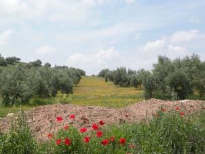
Olive groves along the Camino Mozarabe, Spain

Contents:
1. Camino: Great news! A place to store your backpack when going into the cathedral.
2. The end of an era – more from the Yellowstone Winterkeeper story.
3. Yay, i
t’s official! The Tahoe National Forest will be developing a 72-mile multi-use trail connecting Nevada City and Truckee, Calif.
4. 
Mountains on Stage — Program Summer 2024
5. Safety for Day Hikers
6. 
ALDHA-West Gathering
7. 
Regional: Nor Cal Pilgrims group
8. Notes from Susan

Articles:
#1. Camino interest: Guy Joaquin, Co-coordinator of Northern California Camino Pilgrims, forwarded this important news about backpack storage when going into the cathedral in Santiago–and while visiting the city.

 “The main office of Correos (the Spanish postal service) in Santiago on Rúa do Franco, just a few minutes’ walk from the Cathedral, is now open 7 days a week. This is particularly good news as there is now a secure place every day to deposit backpacks before going into the Cathedral (they are no longer allowed in).”

Correos also extends the opening of the Santiago locker for pilgrims. The postal service will offer the storage of luggage at the main office in Santiago de Compostela, in Rúa do Franco, seven days a week, 8:30 a.m. to 8:30 p.m.” (Europa Press/Friday, March 1, 2024, 3:54 p.m.)

#2. The end of an era? More from the Yellowstone Winterkeeper story. “With 50 years of solitude, Steven Fuller is a living legend in Yellowstone and an endangered 21st century icon. Story by Todd Wilkinson

If you missed my earlier story about Yellowstone’s Winterkeeper in last month’s newsletter, you can find it here. 

#3. A new trail in the making! It’s official! The Tahoe National Forest will be developing a 72-mile multi-use trail connecting Nevada City and Truckee, Calif. “Are you interested in hiking, biking or horseback riding? Tahoe National Forest’s Pines to Mines Trail will welcome equestrians, pedestrians, bicyclists and Class 1 e-bike users on the new 72-mile trail network. The trail’s development aims to increase national forest recreation access for multiple user groups and abilities while supporting local economic development. The trail will include approximately 50 miles of existing trail with 22 miles of new trail, planned to begin construction this year.  

#4. Mountains on Stage[Susan writes: A couple of years back, we attended one of the film-showings locally. It was inexpensive, not-crowded, and great fun–so check out this year’s programing. The festival was born in March 2013 and since then, the festival has been growing year after year, not only in France but also in Europe and the U.S.

Film selections: 
#1. DEEPFREEZE : Themes: mountaineering, winter, Grandes Jorasses.
Athletes: Charles Dubouloz, Symon Welfringer and Clovis Paulin
#2. SEA TO SUMMIT : Themes: big wall, kayak, Greenland.
Athletes: Jacob Cook, Bronwyn Hodgins, Angela Vanwiemeersch, Kelsey Watts and Zack Goldberg-Poch
#3. FOND OF FONT : Themes: bouldering, 100 7A sequence, Fontainebleau.
Athletes: Seb Berthe and Hugo Parmentier
#4. SUBTERRANEAN : Themes: caving, cave systems, Canada. Athletes: Franck Tuot and his team.
TOUR DATES in the U.S. 

5, Safety for Day Hikers. Susan writes: It seems so-o-o-easy, you and your friends drive to a regional park and set out to walk a couple of miles looking for the newly popping wildflowers. Though it’s after work and late in the day, the days are getting longer, so no problem! Afterwards, you plan to return to your car, and perhaps stop for a beer and snacks during Happy Hour before heading home. But then, just about the time your group decides to turn around and head back, one of your party twists an ankle. Even though you are not far from town, a nearby hill blocks cell reception. The beautiful sunset you were all enjoying moments earlier, is slowly fading….

None of us wants or expects an emergency, but they happen. The 10 Essentials are not just for multi-day backpacking trips, they are also important for day hikers. Bring the 10 Essentials and save everyone in your party some grief.
1. Navigation
2. Headlamp
3. Sun Protection
4. First aid
5. Knife
6. Fire (matches/lighter)
7. Shelter
8. Extra Food
9. Extra water
10.Extra Clothes
(Thank you for providing us the list, Jack Haskel: PCT Communicator, Spring 2023.)

#6. The ALDHA-West Gathering: 
ALDHA-West (American Long Distance Hiking Association West). “Save the date for the ALDHA-West Gathering! September 27-29 at Camp Augusta, in Nevada City, CA. Highlights include the Triple Crown Award Ceremony, the Martin Papendick Award for “Trail Angel of the Year”, invited VIP speakers, Hiker Olympics, our legendary GEAR RAFFLE, and plenty of social time with your hiking community. Meals included! Registration will be coming soon. Join us! “

#7. Regional: Nor Cal Pilgrims group’s upcoming events. Find the details on Facebook as they are posted.
April 6. Lake Merritt Walk (Oakland). First Saturday every month.
April 14-May 5. Basic Spanish for the Camino (online)
April 20, Lake Cabot Hike (Castro Valley_)
April 14. Francigena (online)
April 27. Sugarloaf/Bald Mtn. Hike (Kenwood)
May 4. Lake Merritt Walk (Oakland)
May 18. Crosstown Trail Hike (S.F.)

#8. Note from Susan: Where we are enjoying spring. Ralph and I are thoroughly enjoying the local hikes that we have been having. Since we have both been fighting colds, we have been hiking on our own, but thoroughly enjoying trails on Mt. Diablo (Contra Costa County), Jepson Preserve near Suisun City/Dixon (Sonoma County); Morgan Territory (Alameda County). Prior to the wicked colds, we were able to join a guided hike at a brand-new park—the Máyyan ´Ooyákma (Coyote Ridge) (Santa Clara County), and to watch the spectacular elephant seal colony at Drake’s Beach (Marin County). 

Once back in circulation (shortly!), we hope to continue on with our circumnavigation of the Bay Area Ridge Trail. “The Bay Area Ridge Trail is a planned 550-mile multi-use trail along the hill and mountain ridgelines surrounding the San Francisco Bay Area, in Northern California. Currently, 400+ miles have been established. We, with our friends Patricia Schaffarczyk and Tom Coroneos, have hiked a bit more than 300+ miles of the trail so far.

The next big event on the Ridge Trail is the Ridge to Bridge on Saturday, April 13. Participants can choose between: a 6 Mile, 13 Mile, or 18 Mile Hike; 20 Mile Bike Ride; and an 8 Mile Equestrian Ride .

+++++
Thank you everyone. Stay well, keep hiking when prudent. I encourage you to send in items of interest to the hiking community to me at backpack45 “at sign” yahoo.com

Susan ‘backpack45’ Alcorn
Shepherd Canyon Books, Oakland, CA
https://www.susandalcorn.com
https://www.backpack45.com

Author of Walk, Hike, Saunter: Seasoned Women Share Tales and Trails; Healing Miles: Gifts from the Caminos Norte and Primitivo; Patagonia Chronicle: On Foot in Torres del Paine; We’re in the Mountains Not over the Hill: Tales and Tips from Seasoned Women Backpackers; and Camino Chronicle: Walking to Santiago.

Please note: Hiking and backpacking can be risky endeavors. Always be prepared for emergencies and carry food, water, shelter (warm clothing, etc.), flashlight/headlamp, matches, first aid supplies, and maps. Cell phones don’t always work. Leave word where you are traveling and when you are due back.

Susan Alcorn’s Backpacking & Hiking Tales & Tips, March 2023

Susan Alcorn’s Backpacking & Hiking Tales & Tips, #280, March 2023

Looking forward to Spring, and tomorrow, Saturday, March 4, you can celebrate Grammar Day!

Contents:

1. Article: “Think You Found a Great Travel Buddy?” Key questions to consider for harmonious hikes with companions!

2. Camino interest: Processionary Caterpillars

3. Outdoor adventures and classes with expert outdoors hikers and instructors (Andrew Skurka)

4. BearVault seeking 10 storytellers with 2023 Adventure Plans

5. Lessons shared from the RUCK

6. Sunscreen and you

7. Regional: S.F. Bay Area: Berkeley Path Wanderers offerings.  

Articles:

#1. “Think You Found a Great Travel Buddy? Have This Talk First. If you are planning to hike with someone you haven’t hiked with previously, or if the planned hike will be more challenging or longer than previous ones, give these ideas some thought. Clearly, communication upfront and on the outing is important! 

#2. Camino interest: In February, a topic popped up in the Camino forum that was news to me. Member Derek Booth posted a warning about Processionary Caterpillars from acquaintances who were then in temperate parts of Spain and Portugal. He also said that he noticed these insects when he was on the Frances in March of 2019. As I read further, I wondered why we hadn’t heard about them on our numerous hikes on the Iberian Peninsula.  

Booth commented that he had learned that the “caterpillars are falling out of their nests and starting their march across the landscape. It could be that those doing the C. Portuguese or Via de la Plata may come into contact with them within the next month.”

Doing a Google search, I found many references to the Pine Processionary Caterpillar, saw the photos, and learned about the risk they pose both to animals, humans, and pine forests. I also plan to search and see if I have photos of them in their fluffy white nests in pine trees.  This photo of a group on the move is from Wikipedia. 

Avoid them! “Pine Processionary Caterpillars can cause skin irritation or a rash much like that experienced after rubbing a stinging nettle. Although, in most cases, an antihistamine cream will usually be enough to alleviate the symptoms. However, in more severe cases, humans can experience allergic reactions or respiratory problems. Asthmatics are particularly vulnerable and at risk of having a severe attack.”

And keep pets away from them! The insects are called processionary because they make a long lines and trails “nose to tail.” They caterpillars are covered with harpoon-like spines that look like hairs. The hairs are toxic, even if the caterpillar is dead. More info here.

#3. Outdoor adventures and classes with expert outdoors hikers and instructors. Andrew Skurka has announced, “I’m delighted to share that Katie Gerber has been hired as Co-Director (and my first full-time employee). To start, she’ll be helping me run the guided trip program; as time and interest permits, her role should expand. Katie has been involved in the program since 2020, as a guide and online instructor.”  

“Southern Utah trips: Only 4 spots left! The 2023 season kicks off next month in southern Utah, where we will embrace sunshine and mild temperatures, admire blossoming wildflowers, travel across slickrock and in deep canyons, cowboy camp under the stars, and hike extensively off-trail.

Adventure 1C 5-day (Apr 17-21) with Scott Christy and Sarah Stratton (2 spots)

Adventure 2A 7-day (Apr 23-29) with Bec Bastian and Hunter Hall

Adventure 3C 5-day (Apr 30-May 4) with me and Sam Novey.

“Since we’re 6-8 weeks from the start of these trips, I’m willing to offer an extra 10 percent discount to offset the higher travel costs. We are also offering a Wilderness First Aid (WFA) certification on Saturday, April 22, instructed by Steve McLaughlin MD, the Chief Medical Officer at the University of New Mexico Hospital (and a multi-time alumni), and Emily Wheelis MD, a faculty member at UNM. This course is open to the public.

“If you have questions about these trips or the WFA course, email: andrew@andrewskurka.com or call, 720-279-4801. Andrew Skurka Adventures LLC3909 Apache Ct E, , Boulder, CO 80303″


#4. BearVault [makers of bear canisters to keep food safe] looking for ambassadors. “It’s that time of year when anticipation begins to grow for summer adventures big and small. BearVault wants to amplify stories like yours to our community and give each selected ambassador a $500 adventure stipend, a free BearVault, and fun swag.

“We are looking for people from all sorts of backgrounds and experience levels who plan to adventure overnight in bear habitat this year. Adventure looks different for everyone – what matters most is that you are passionate about your adventure! As an ambassador, you will have the chance to create TikToks, Reels, as well as mini-articles. Visit our site to get the full scoop.

“Not the right fit for you? We get it. Perhaps you know a friend that this would be the perfect fit for. Do them a solid and forward this email!” BearVault, 300 Center Drive G-341,  Superior, CO 80027. Reply to: info@bearvault.com


#5. Lessons shared from the RUCK. The February 11, 2023 NorCal RUCK session held here in the S.F. Bay Area was a great success. Hikers and backpackers with every level of experience—“wanna be” hikers to Triple Crowners (or more)—gathered at the rustic meeting hall in Camp Herms, El Cerrito. 

 Nifty 90 Hike to Berryessa Peak  

We enjoyed formative presentations on trail safety, (including one named, “How Not to Die,” by Giggles, which gave strategies for stream crossings and avoiding avalanches and more). “Breakout” (less formal) groups discussing Hitchhiking Best Practices, Older Hikers, and Camino de Santiago. I gave a presentation on local training hikes, “Nifty 90 peaks in the Bay Area.”

Trail Town Etiquette & Leave no Trace, by Whitney Allgood LaRuffa and Liz “Snorkel  Thomas,” went over some very important strategies for hikers — including how to behave when on trails and in trail towns. We were reminded that our actions have consequences — not only to ourselves, but to those who follow us. IF we are inconsiderate of others in the trail towns, not only do we look like slobs, but other hikers coming along will not be welcomed.

One example given during presentations was about hikers who strip all their clothes of in the local laundromat. Apparently some hikers haven’t caught on to the fact that residents and other hikers may not appreciate this! Hint from me: borrow someone else’s clothes or put on your raingear when you do your laundry! Another suggestion: Tip generously! Suggested amount was 20% in restaurants and $20 or so if staying at a trail angels’ place/getting a long ride, etc.


There will be a second Ruck on the West Coast: Cascade RUCK, Stevenson, WA (on the Columbia). March 25, 2022. 8:00 am – 4:00 pm.

#6. Sunblock usage: Soon we’ll be seeing the sun again! This is a reminder that using sunblock is important and equally important is using it enough. SPF = Sun Protection Factor. According to the FDA, the numbers compare how much (NOT how long) you are protected with and without it on.

“SPF is a measure of how much solar energy (UV radiation) is required to produce sunburn on protected skin (i.e., in the presence of sunscreen) relative to the amount of solar energy required to produce sunburn on unprotected skin. As the SPF value increases, sunburn protection increases.

“There is a popular misconception that SPF relates to time of solar exposure. For example, many consumers believe that, if they normally get sunburn in one hour, then an SPF 15 sunscreen allows them to stay in the sun 15 hours (i.e., 15 times longer) without getting sunburn. This is not true because SPF is not directly related to time of solar exposure but to amount of solar exposure. Although solar energy amount is related to solar exposure time, there are other factors that impact the amount of solar energy. For example, the intensity of the solar energy impacts the amount. The following exposures may result in the same amount of solar energy: one hour at 9:00 a.m.; 15 minutes at 1:00 p.m.”

Other variables: being at altitude, swimming or otherwise being near water or other reflective surfaces, skin color, clear vs cloudy skies, etc. can increase the amount of exposure. Suggestions: Apply every two hours, wear protective clothing and head coverings, carry a hikers’ umbrella. See FDA.org


#7. Regional: SF Bay Area: Berkeley Path Wanderers. Paths Survey: Volunteers needed for the wanderers 5-year paths inventory on Sunday, May 21. This was last completed in 2018 when 80 volunteers walked all the paths in Berkeley and reported their findings, which allowed the organization to determine conditions, needs, and priorities for the following few years.

Every Path in Berkeley: “Explore every built-out path in Berkeley as part of Berkeley Path Wanderers Association’s celebration of its 25th anniversary.” You can walk one or all. Those who do all 6 will get a mention in the newsletter and a commemorative button.


The six walks are: Walk 1: Sunday, March 5, led by John Ford (rain date March 11); Walk 2: Saturday, April 1, led by (none other than!) Jacob Lehmann Duke; Walk 3: Saturday, May 6, led by Alina Constantinescu; Walk 4: Sunday, June 4, led by Signe Burns and Sydney Dowdy; Walk 5: Sunday, July 9, led by John Ford; Walk 6: Sunday, August 6, led by Janet Byron. The final will also be their annual Path-a-thon, with three walks to choose from, followed by a 25th anniversary celebration at Live Oak Park. Hikes are described here. Walk leaders request that all participants be vaccinated and boosted, or masked. Heavy rain cancels; check website for changes.

——————-

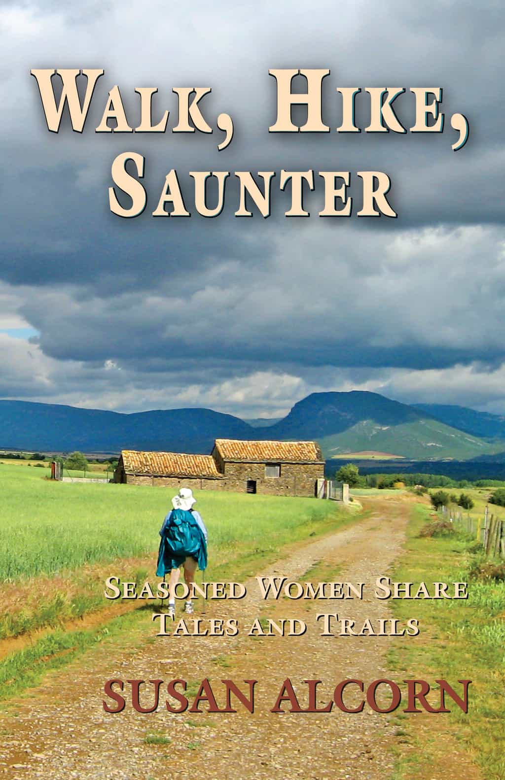
 Walk, Hike, Saunter

Thank you everyone. Stay well, keep hiking when prudent. I encourage you to send in items of interest to the hiking community to me at backpack45 “at sign” yahoo.com

Susan ‘backpack45’ Alcorn

Shepherd Canyon Books, Oakland, CA

https://www.susandalcorn.com

https://www.backpack45.com

Author of Walk, Hike, Saunter: Seasoned Women Share Tales and Trails; Healing Miles: Gifts from the Caminos Norte and Primitivo; Patagonia Chronicle: On Foot in Torres del Paine; We’re in the Mountains Not over the Hill: Tales and Tips from Seasoned Women Backpackers; and Camino Chronicle: Walking to Santiago.

Please note: Hiking and backpacking can be risky endeavors. Always be prepared for emergencies and carry food, water, shelter (warm clothing, etc.), flashlight/headlamp, matches, first aid supplies, and maps. Cell phones don’t always work. Leave word where you are traveling and when you are due back.

I’d be sad to see you go. But if you want to, you can unsubscribe from here: https://susandalcorn.com/?es=unsubscribe&hash=eyJtZXNzYWdlX2lkIjowLCJjYW1wYWlnbl9pZCI6IjU4IiwiY29udGFjdF9pZCI6MCwiZW1haWwiOiIiLCJndWlkIjoiIiwibGlzdF9pZHMiOiIiLCJhY3Rpb24iOiJ1bnN1YnNjcmliZSJ9


Susan Alcorn’s Backpacking & Hiking Tales & Tips, August, 2022

Susan Alcorn’s Backpacking & Hiking Tales & Tips, August 2022

 
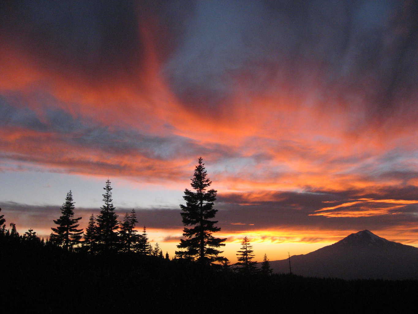
pct fire
Susan and Ralph on the PCT, Burney Falls to Oregon section, 2007

If you think adventure is dangerous, try routine, it’s lethal.”  Paulo Coelho
“Coming back to where you started is not the same as never leaving.” Terry Pratchett. Thanks to Joyce Bender for sending these uplifting quotes.

Contents:

1. Arlette Laan and the Eleven U.S. National Scenic Trails
2. Susan to be interviewed by Sierra Club Bay Chapter, Aug. 12
3. PCT and Sierra Fires Wreak Havoc
4. Safety Measures on the Camino de Santiago

5. PCT Trail Days
6. Treeline Review of Headlamps
7, Choosing a Good Sunscreen

Articles:


#1. Arlette Laan“Apple Pie”, age 50, recently completed all 11 of the US National Scenic Trails!

 That is the Appalachian Trail: 2,190 miles; Arizona Trail 800 miles; Continental Divide Trail: 3,100 miles; Florida Trail: 1,300 miles; Ice Age Trail: 1,000 miles; Natchez: 65 miles; New England Trail: 215 miles; North Country Trail: 4,600 miles; Pacific Crest Trail: 2,650 miles; Pacific Northwest Trail: 1,200 miles; Potomac Heritage Trail: 710 miles. That totals 17,830 miles.  Way to Go!!!!

She has also completed about the same number of miles on other famous trails including New Zealand’s Te Araroa and Nepal’s Annapurna Circuit.
Read more: Backpacker online
and here: WPR 
Watch: Here on youtube

#2. Susan will be interviewed on Sierra Club, Bay Chapters’ “Green Friday.”

 Register here to RSVP and receive the link to the ZOOM meeting on Friday, August 12, 2022. 7:30 P.M. (The interview will be recorded on YouTube). Susan will be interviewed by Victoria Tishman Kamerzell, and will discuss researching, writing, and publishing her hiking books, particularly the most recent, Walk, Hike, Saunter: Seasoned Women Share Tales and Tips. This is an opportunity to hear more about some of the highly adventurous hiking women in our midst.

#3. PCT and Sierra Disastrous Fires.

 Unfortunately wildfires are hitting the West hard again; here’s some of what’s going on.
California: The McKinney and China 2 Fires in far Northern California. The McKinney Fire is burning north of Etna and Fort Jones, California. The China 2 Fire is burning ~2 miles west of the community Seiad Valley. The weather conditions, including lots of lightning, are leading to extreme fire behavior and dangerous conditions.

California Fire on PCT 

Seiad Valley Fire near the PCT when we were there in July 2007. Scary stuff!

The McKinney fire (click here) in Klamath National Forest (reported 8/4/22) has grown to 58,668 Acres and is 10% contained. It is now the largest fire in California to date this year. Some residential areas in the City of Yreka received evacuation notices on July 30. There have been four fatalities near residences.

A 110 mile section of the PCT is closed by the Forest Service. The closure is from Etna Summit (mile 1600) in Northern California to Mt. Ashland Campground (~mile 1710) in Southern Oregon.

At least twenty PCT hikers were rescued from within the area and transported by the Medford, OR are Rogue Valley Transportation District buses to Ashland area. More info here.

The PCT Association published this map, click here of the closure.
Recent rain slowed the fire’s progress earlier this week, but that didn’t solve all the problems, however, because lightning, temperatures exceeding 105 degrees, and winds can contribute to the problems. That, combined with low relative humidity and dry vegetation have caused further Red Flag warnings from the National Weather Service.
Evacuations and closures:
Check Facebook pages of the Siskiyou County Sheriff’s Office and Siskiyou County Office of Emergency Services. Additional evacuation information and map can be found on the Zonehaven website. A shelter has been established at the Weed Community Center, 161 E Lincoln Ave., Weed, CA 96094.
Highway 96 remains closed through the fire area. Click here for current conditions. 
Elsewhere in California: Earlier, people from around the world were watching the reports about the Washburn fire and Oak Fires, both near Yosemite National Park and at the height of the summer visitations. Both fires resulted in highway closures and evacuations. The Washburn was centered in the Mariposa Grove of Giant Sequoias in Yosemite National Park. 

The cause of this fire is under investigation, so a tip line has been established. “If you were near the Mariposa Grove on July 7, 2022, please contact NPS Investigative Services Branch (ISB). Call or text (888) 653-0009. Email: nps_isb@nps.gov  Online, go here

Visitors, residents, and others are also following the Oak Fire, which is currently burning west of Yosemite in the Mariposa/Midpines area. Info here  or by calling 844-MMU-FIRE (844-668-3473). For information about air quality, visit airnow.gov.

Closures and reopenings: Highway 140 through Mariposa County to Yosemite National Park has reopened to all lanes of traffic. Please drive carefully as fire suppression vehicles and equipment are still in the area. Wawona Road (Highway 41) reopened on Saturday, July 23. Wawona (including the Wawona Hotel and vacation rentals) was scheduled to the public on Thursday, July 28, at noon.  “The Mariposa Grove of Giant Sequoias and the Wawona Campground remain closed due to the Washburn fire.”

All other areas of Yosemite are open, but as part of the effort already in effect to reduce congestion in the park during the summer, a reservation is required to drive into the park if arriving between 6 a.m. and 4 p.m.”

Oregon:
 Oregon is also seeing many forest fires. Mostly as a result of lightning strikes and extreme heat. Of particular concern to hikers, some have triggered scattered evacuation warnings, closed a 60-mile section of the Pacific Crest Trail near Crater Lake and shut down some campgrounds.

For PCT hikers that is: from Oregon 138 (mile 1,848 at the northern boundary of Crater Lake National Park) to Oregon 58 (mile 1,908 at Willamette Pass). 
Other PCT trail closures: pcta.org/discover-the-trail/closures/

Basilica in Vezelay, France. Beginning of a Camino route to Santiago.

#4. Safety Measures for the Camino de Santiago Routes.

“There is continuing concern about incidents affecting female pilgrims. We reiterate the advice given by a number of pilgrim associations. “Before you set out, programme the emergency number 112 into your telephone.
“If you feel threatened or uncomfortable or if you are assaulted in any way try to remove yourself to a place of safety immediately.
“Call the police – the best number to use is 112, which covers all of Portugal (and much of Europe) and which has operators who speak English.
“And please report all incidents to the police. Too many of these unlawful aggressions are never reported, which means that the full extent of the problem is hidden from the authorities.” These reminders were posted by “Wayfarer” wayfarer, moderator on the Camino forum, Jul 21, 2022

#5. Pacific Crest Trail Days: August 19-21.

 And now for some fun: “This is an annual summer festival at Cascade Locks (alongside the Columbia River on the Oregon/Washington border). “The event celebrates and promotes hiking, camping, backpacking & outdoor stewardship.  Attendees can participate in activities, games, & presentations, win awesome gear at the raffle, and get great deals on the latest outdoor products from sponsors at the Gear Demo and Marketplace.  If you’re into car camping, day hiking, long distance hiking, or just curious, a wide-range of gear and info will be here!  Don’t miss out on a great time at the 15th annual PCT DAYS, located in the Marine Park of Cascade Locks,  Oregon…the heart of the Columbia River Gorge!

“PCT DAYS is free to attend, with a fee for overnight camping.  All raffle proceeds support the American Long Distance Hiking Association-West and Pacific Crest Trail Assoc.   Vendors will be offering great food, coffee, beer and non-alcoholic beverages.  No drone cameras, dogs, glass or alcohol may be brought to PCT DAYS and parking outside of the Marine Park is free.”

#6. Treeline Reviews on headlamps.

 Read the reviews here. Also in the article reviewing headlamps, Treeline had this significant information to add: “Getting outdoors remains the center of what we do: Despite running this website, we make being outside a priority. While running Treeline Review, our co-founder Naomi Hudetz was the first person to thru-hike the Blue Mountains Trail. Additionally, we’ve hiked the Oregon Desert Trail, Ouachita Trail, and Arizona Trail.”
Susan adds: Naomi was one of the women I featured in “Walk, Hike, Saunter: Seasoned Women Share Tales and Trails.” 

#7. Lathering on the Sunscreen.

 Excerpts from Kaiserpermanente’s “Summer sunscreen guide: Learn how to avoid common sunscreen mistakes” Click here.
Q: “What SPF should you use? A: Many people think that SPF, or sun protection factor, represents how much time you can wear a product before applying it again. But that’s not true. SPF measures how much UV radiation a sunscreen can absorb before it stops working.” Sarah Adams, MD, FAAD, a dermatologist with Kaiser Permanente in Southern California, says, “For me, the magic number is 30. SPF 30 blocks 97% of the UVB rays that cause sunburn. Anything above that only offers a little more protection — and nothing can block 100% of UVB rays.”

Adams adds:
Apply sunscreen at least every 2 hours, plus after going in the water.
“Waterproof” is not really waterproof — reapply when you go in the water.
Moisturizers with SPF work, but apply enough.
Separate sunscreen products and moisturizers is usually a better plan. 
Chemical sunscreen absorbs rays within your skin cells, like a filter. Mineral sunscreen blocks sun rays by sitting on top of your skin, and will contain active ingredients such as zinc oxide or titanium dioxide. “‘Both protect you from sun damage, says Adams, and there’s no clear evidence that one is better for your health or more effective than the other.”
It should be a broad-spectrum product “to protect against both UVA rays, which contribute to premature aging, and UVB rays, which cause burning — and can lead to cancer.” 
Some destinations, like Hawaii, have laws against chemical sunscreen to avoid damage to coral reefs. Check regulations before you travel. 
See your dermatologist about possible sun damage if you notice new growths, bleeding, scabbing, or itching. 
Check the expiration dates on products
Store products in cool places rather than in your car’s glovebox, etc. 
There is much more information and explanation online, click here. (JUN 16, 2022)
——–
Thank you everyone. Stay well, keep hiking when prudent. I encourage you to send in items of interest to the hiking community to me at backpack45 “at sign” yahoo.com
Susan ‘backpack45’ Alcorn
Shepherd Canyon Books, Oakland, CA
susandalcorn.com
backpack45.com

Author of Walk, Hike, Saunter: Seasoned Women Share Tales and Trails; Healing Miles: Gifts from the Caminos Norte and Primitivo; Patagonia Chronicle: On Foot in Torres del Paine; We’re in the Mountains Not over the Hill: Tales and Tips from Seasoned Women Backpackers; and Camino Chronicle: Walking to Santiago.

Please note: Hiking and backpacking can be risky endeavors. Always be prepared for emergencies and carry food, water, shelter (warm clothing, etc.), flashlight/headlamp, matches, first aid supplies, and maps. Cell phones don’t always work. Leave word where you are traveling and when you are due back.