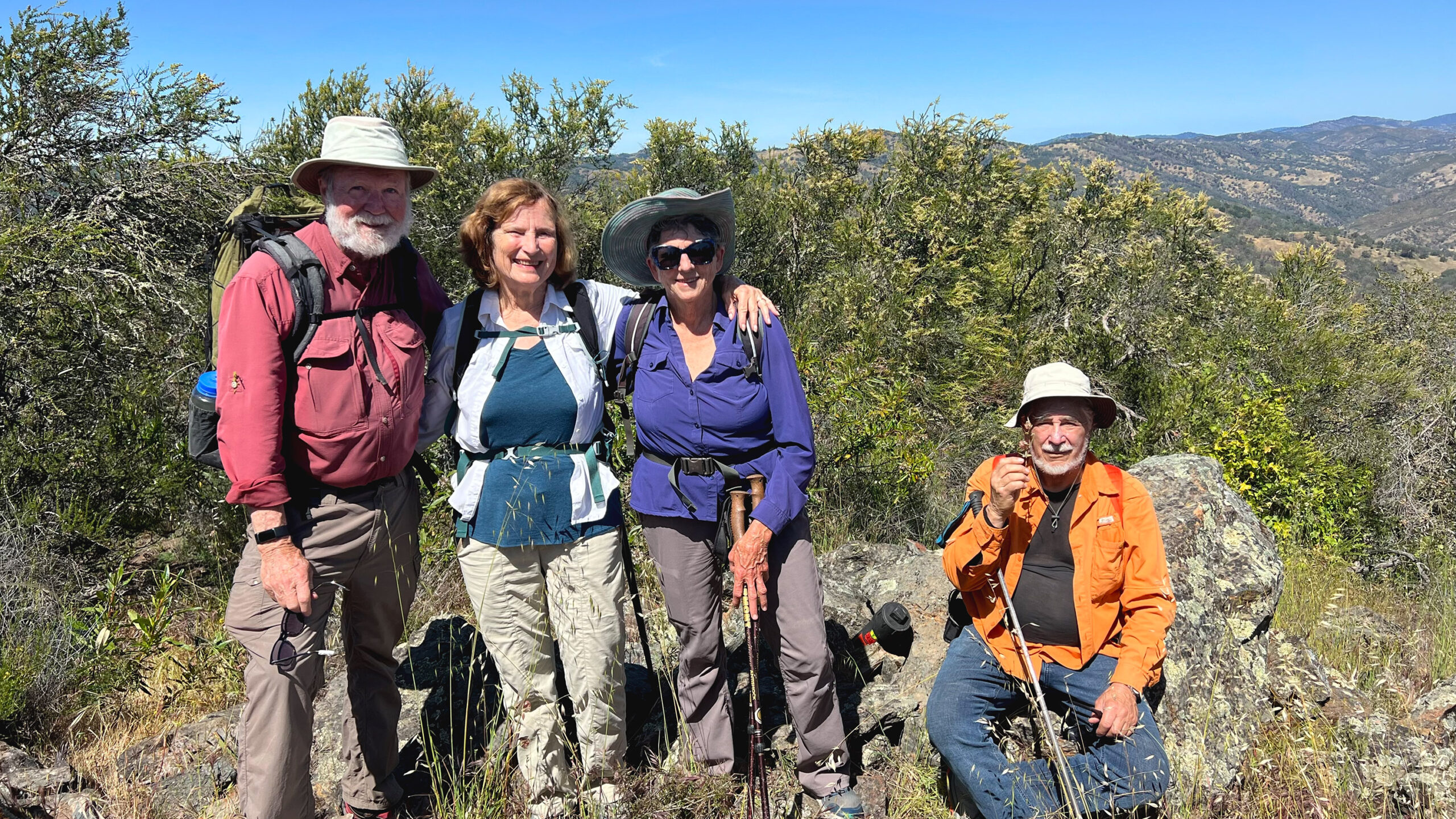
Burra Burra: Our Final Peak!
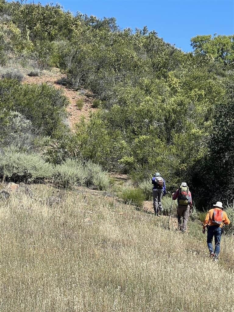
Reaching the peak of Burra Burra in Henry Coe State Park, in northern California, was a long-awaited pleasure. So many things had interfered with making this trek — but none of them had anything to do with the hike itself, or the short climb to the top. Those later items were relatively easy.
It all had to do with COVID restrictions, wildfires, entry closures, distance from home, and weather. Some of those barriers have interrupted many people’s travels during the last couple of years —especially COVID and wildfires, but some of our challenges still exist, so future hikers or other visitors would want to consider some solutions.
Entrances to Henry Coe and Burra Burra Access
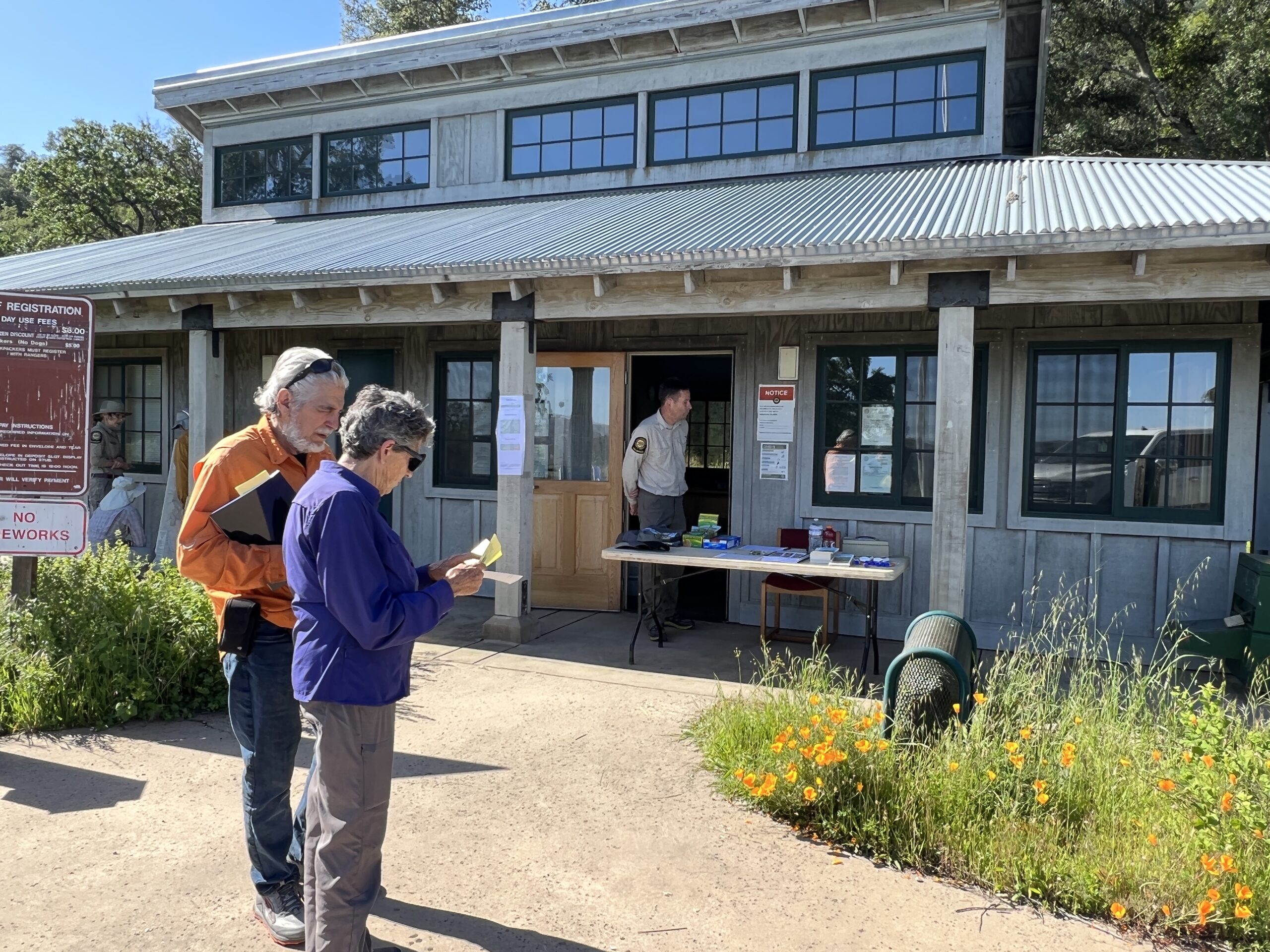
Henry Coe has three entrances: the Coe Park headquarters, Hunting Hollow, and Dowdy Ranch. Coe Park headquarters/visitors’ center/entrance is on the Northwestern part of the park. The Hunting Hollow entrance, which has a dirt parking lot, a porta-potty, and a signboard with maps, is on the Southwestern side. Dowdy Ranch Visitor Center is on the southeast section of the park. We used the Coe Park Headquarters for Mt. Sizer, and Hunting Hollow for two of the other peaks.
To climb Burra Burra, you could enter at any of the entrances, but it is much closer to Dowdy Ranch than the others. However, gaining access to the Dowdy Ranch entrance is challenging because it is seven miles of dirt road from the nearest highway (Highway 152/Pacheco Pass Highway). There is a gate, the Bell’s Station Entrance, next to the highway, but it is rarely open to the public.
Options for Reaching Dowdy Ranch Entrance
1) Enter by the dirt road when the Bell’s Station Entrance and Dowdy Ranch Visitor’s Center is open. However, we waited two years to find a time when that would happen. We were finally able to make the drive in when the Bell’s Station Entrance was open for the “Backcountry Weekend” in April 2022. However, that entrance is not expected to be open again in 2022 — primarily because of budget cuts and staffing problems.
2) Park outside the gate near the Bell’s Station Entrance/Bell Station Market, and the old Bell’s gas station. Then walk or ride a bike or horse the 14 miles roundtrip to the park’s entrance and easy access to the Burra Burra loop.
3) Enter one of the western entrances, but consider that Henry Coe State Park, with its 87,000 acres, is the largest state park in northern California. The mountainous terrain can be challenging, and during the summer the heat withering.
From Hunting Hollow entrance, there are several trail options, with about 20-miles roundtrip being the shortest. If doing the #NiftyNinety Peak challenge, it would be advantageous to backpack and do another peak or two within the park on the same trip. Knowing about current water sources would be essential.
Doing the Burra Burra Loop
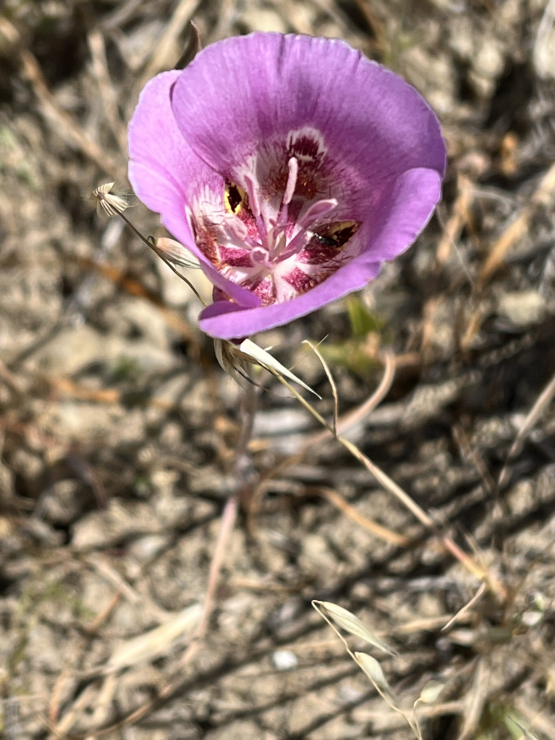
If possible, pick up an illustrated flyer, Geology Guide to the Burra Burra Trail, which provides photos and information about points of interest along the trail. Lacking that, look for evidence of igneous rock. Burra Burra is believed to be associated with the Quien Sabe Volcanic field located near Hollister.
Henry Coe had its own volcano only 10,000,000 years ago. As you continue on the loop trail, you will see layers of rock that are composed of dark, shiny, flakey materials — mica. You also might notice some turquoise or black-colored rock, which would be serpentinite (commonly called serpentine), California’s State Rock.
Directions
These are the clockwise directions. To start, take the somewhat steep trail uphill behind the visitor center. When you reach the road that you came in, walk alongside it (heading out) until you come to a trail sign marking the beginning of Burra Burra Trail and turn right (west). The first mile is a gradual uphill.
Just before the trail turns left (west) and drops downhill, you’ll see up ahead an open track up the slope to the top of Burra Burra. This is an optional side trip off the loop trail to reach the Burra Burra Peak — it’s only a bit of a scramble. After taking in the views for there, and signing the register, return to the turnoff and continue as the trail drops, curves, then climbs somewhat on the west end of Burra Burra. You can make another detour here to climb to the lower Burra Burra Peak. We had lunch along this section.
Continuing on from the loop trail, drop down to Center Flats Road and turn right. When you reach the junction of Center Flats Road and the Herman Pond Trail, take a right (east). Again, you can make a short detour off the trail to see what’s going on in the pond. When back on the trail, continue downhill to Kaiser-Aetna Road. A turn to the right (uphill) will climb up to the visitor center. A turn to the left will take you across a field to a tree-shaded, Oak “cathedral,” for a cooling break before continuing on uphill to the center. Trail map here.
Details
Loop hike: 2.5-3 miles on the Burra Burra Trail, Center Flats Road & Hersman Pond Trail. Elevation: 2281 ft. / 695 m. Rated moderate.
While Henry Coe is a state park, the the volunteers at Pine Ridge Association sponsor events during the year in locations throughout the park. They are often the easiest to reach with your questions.
California State Parks = Coe page here
The Pine Ridge Association
Pine Ridge Assoc.: Coe Planning page/maps