Bills Hill at Henry Coe State Park
FINALLY we were able to tackle a new Nifty Ninety Peak. And it was great fun! The peaks in Henry Coe State Park have posed, and continue to pose, a challenge to us for several reasons. They are all rated as difficult. Most of the trails are steep and long.
Timing can be tricky. Spring can be beautiful with wildflowers galore, but the trails can be slippery and water crossings difficult. Summer days can easily hit 100 or more and water sources can be limited. Fall is usually great, but wildfires become a concern. Winter temperatures often drop below freezing. Even though Henry Coe is the largest state park in Northern California, it is more than 1.5 hours from us. Some of the trailheads are even farther, and not all of peaks are accessible from the same entrances.
But the first week of December, Ralph and I decided to scout out Bills Hill. I, for one, couldn’t stand waiting any longer to resume the Nifty Ninety challenge. We entered at the Hunting Hollow entrance (about 10 miles east of Gilroy, CA) and parked in the large, unpaved parking area. We then took the Hunting Hollow Trail out through the valley for about two miles.
We initially missed the turnoff to the Bills Hill’s narrow dirt trail. The large pile of rocks that had indicated the turn at one time had been scattered. Ralph rebuilt the cairn and then we turned to head back to our car. We wanted to come back when our hiking buddies — Tom Coroneos and Patricia Schaffarczyk — could come with us.
Scouting Bills Hill had its rewards
Though this was not the day to hike to the peak, it did have some peak moments. On the way in, we were stopped dead in our tracks when we spotted a bobcat in a large grassy field. At first the cat was crouched next to the entrance of a squirrel’s tunnel. Then it casually walked through the short, tan grass to the far end of the football-sized field and disappeared into the scrubby brush.
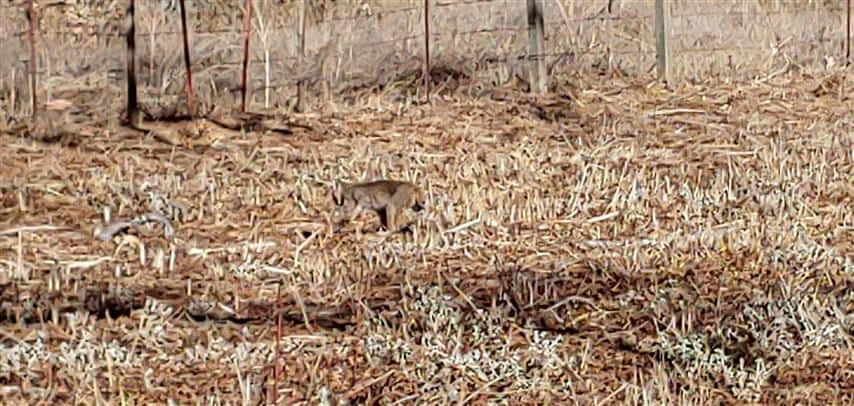
Bobcat in Henry Coe SP
On the way back out,near an old, weather-beaten windmill pumping water into a nearby tank, we saw the largest covey of California Quail we’d ever been lucky enough to see. We estimated 60-80 of these tufted, handsomely feathered birds. They were running about peeping, whistling, calling, and making their barking alarm sounds. (Click here for a good display: “The California Quail” by Peter Steuart. Click here.)
When we got back to the dirt parking area, I got to talking with another hiker who was returning from a hike to another Coe peak — Willson’s. He had done Bills Hill previously so I asked him about it. “It requires some scrambling,” he said.
In the week that followed, I kicked myself for not asking for clarification. How much scrambling? Did he mean the whole distance, or did he mean the last 20 feet to the peak? It had been so long since we had done a hike rated as difficult that I wasn’t sure if I could do it. The question about the scrambling bothered me as well as reading that there was lots of poison oak and ticks.
Finally...
we set a date and Tom and Patricia were enthusiastic. Per the COVID-19 restrictions at the time, we drove in different cars, wore our masks or distanced depending on what was appropriate. We couldn’t have picked a better day. This is a park that can be brutally hot in summer, freezing in winter. This day it was 50s and 60s — perfect for an ambitious hike.
We set out again on the Hunters Hollow Trail and then turned right onto the Bills Hills Trail (the rock cairn was still there). We had to duck under a few low oak tree branches, but it was easy to follow the trail — for a while. It helped that there were green or pink ribbons indicating the trail from time to time.
Where did it go?
And then, with Patricia in the lead, we ran out of trail. She continued ahead, descended several feet into a steep canyon, but then came to a stop. We considered the cross-country ascent that would be required on the far side. This could NOT be right! Maybe the others could have climbed up the other side, but I doubted that I could.
We backtracked, looked around, and saw that far off to the right was a barbed-wire fence. We decided to follow it up the hill. And sure enough the plastic trail ribbons once again began to appear. The trail was moderately steep and I was very glad I had my hiking poles — especially along the stretches where the trail was covered with a couple of inches of leaves.
We tried to avoid the thin, bare branches that hung over the trail — not able to determine which were poison oak and which were other scrub. We never did see any sign of ticks.
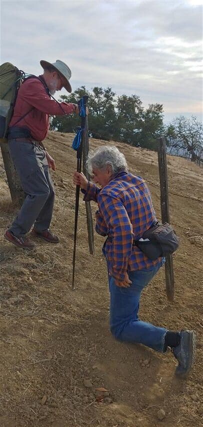
We reached Osos Ridge
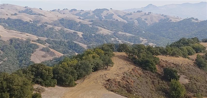
From Osos Ridge, we could see Bills Hill a short distance to the south. Our narrow trail continued along to our left (south), but we had read that the barbed wire fence just ahead of us was not the park’s boundary. It was still park property, not private, making it was legal to crawl under the fence to follow the wide dirt fire road south to Bills Hill. Trail ribbons confirmed our choice.
With our goal in sight, we followed the undulating road and made the last steep ascent to the summit — a flat, rather bare area except for a few oak trees bent over time by the wind. In the spring the area would likely be covered with bright grasses and wildflowers and on a clear day it would offer extensive views to such regional peaks as Pinnacles, Mount Umunhum, and Mount Hamilton.
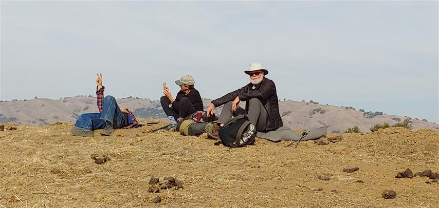
B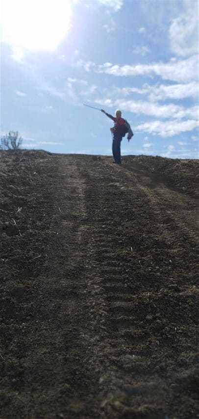 ut this day it was hazy, and we didn’t care a bit — we were quite content basking in the bit of sunshine we found, eating our well-earned lunches, and taking photos. Ralph and I were very happy that we had done 80 peaks on our list of challenging Nifty Ninety Peaks. In order by elevations, this is peak 32 on the list.
Coming back down the hill went quickly. We tied some plastic ribbons to mark the turn in the trail that we hadn’t seen when we went up. In a few places we slowed to search for bare dirt to walk on rather than slippery leaves, but it went without incident. Back on Hunting Hollow, Tom and Patricia were again in the lead and they managed to see the bobcat where Ralph and I had seen it previously.
Bills Hill – Hiked Dec. 6, 2020. Approx. 7.5 miles rt.
Taste Testing at Kelly Brewing Company
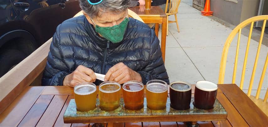
As has been our custom after our hike, we looked for a brewery on the way back home. A stop in Morgan Hill at Kelly Brewing Company for beer accompanied by pizza from the food truck out front hit the spot. It happened to be the final day that outdoor dining was allowed before another of the COVID-19 shutdowns in the SF Bay Area. So, another perfect day on the trail — and at a brewpub
