 Mount Sizer, Henry Coe State Park
There are several reasons why we waited until near the end of the list of 90 peaks on the Ninety Nifty Peak challenge to do Mount Sizer. The first was that we figured we’d need to backpack in instead of doing the peak as a day hike. Second, everyone says it is hard — no matter their age. Third, we wanted to be stronger than when we started this whole challenge (to work our way up). I wasn’t confident I could do it.
Upper Camp before Mount Sizer
Read More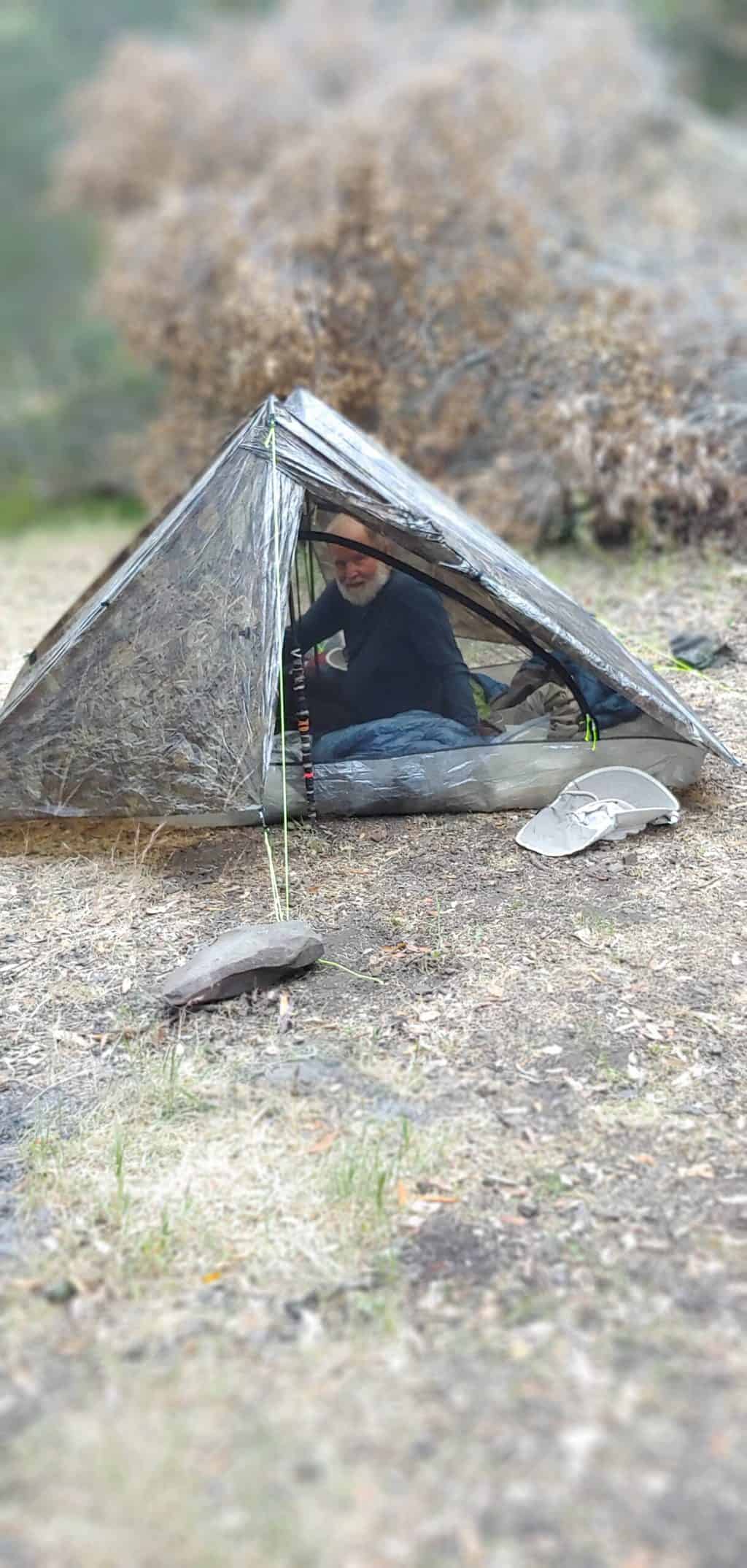
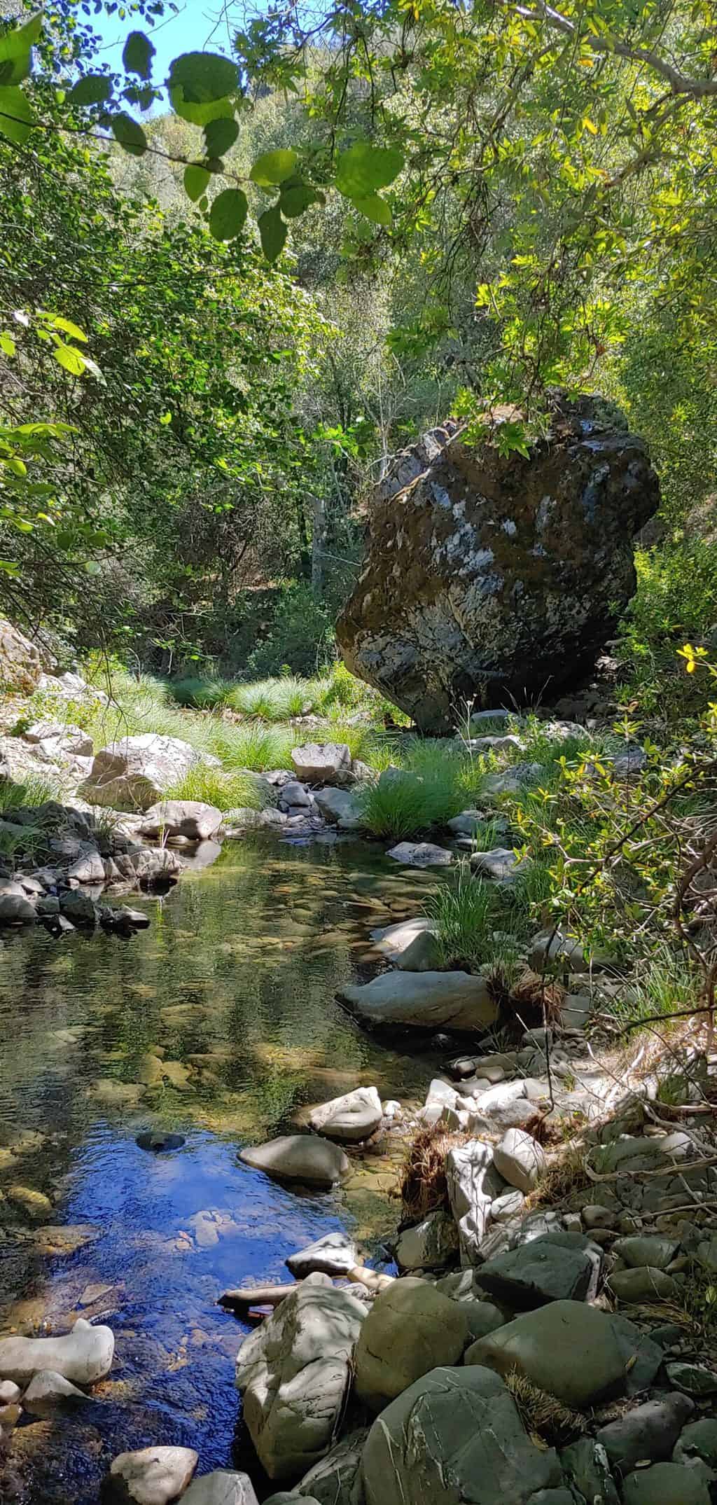 We descended steeply about 3.5 miles to reach Upper Camp, which had a handful of flat places where we could choose our tent sites with Coyote Creek only steps away. Picturesque Coyote turned out to be a clear, well-flowing stream with some mosquitoes in the evening, but the water seemed deep enough for a dunk. Missed that night’s eclipse because we were so deep in the canyon. Early up the next day leaving heavier stuff there until our return and carrying only water and food for the steep climb ahead.
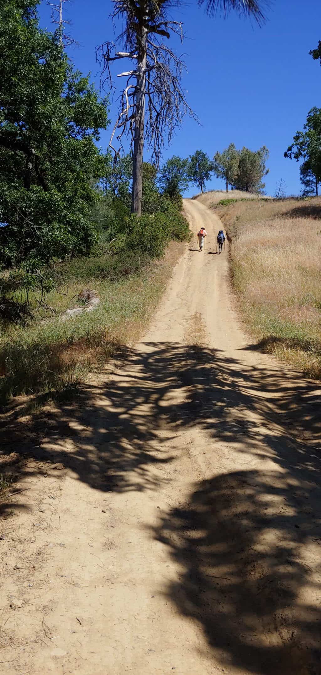
“Brutal” is an oft-used term describing the morning’s ascent. Many sources call the “Shortcut” (Hobbs Road) the steepest climb on the Bay Area—1,500′ in a mile and a half. 22% grade. We were ready.
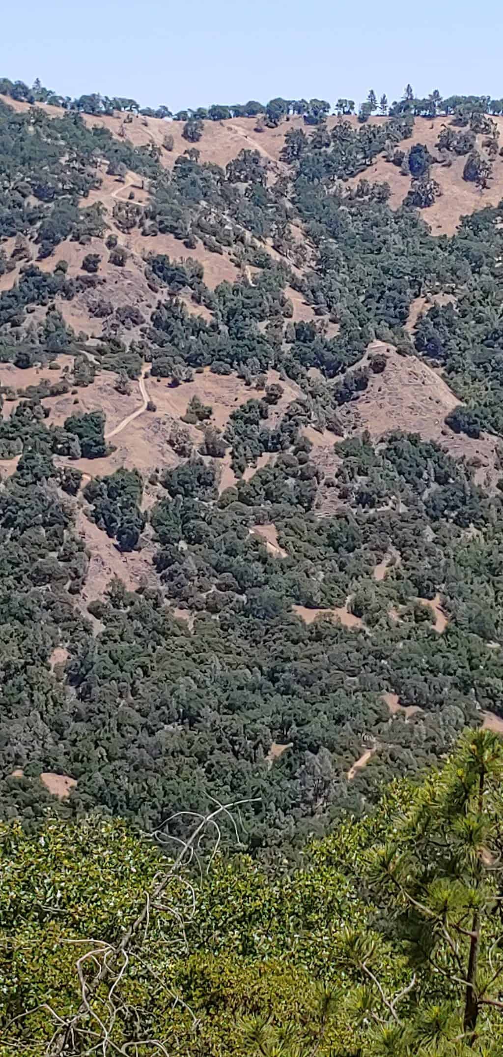
After hitting the Blue Ridge Trail, we turned southwest and followed the trail for 0.9 miles on the gentle rolling ascent. Sizer is more of a mound, and not even marked, but we were glad to reach it and take a break. Henry Coe is the largest state park in northern California and from the ridge we could see other ridges extending out for miles.
The descent from Mount Sizer
I was really worried about going back down Hobbs Road. Because a few pickup trucks (belonging to people living further out on private property) had passed us when we were going up the hill, I figured that there was a chance that one would come down the hill when we were going back down. Patricia and I had considered hitchhiking down the hill if the opportunity arose and I had checked to be sure we had some cash in case we had to “bribe’ someone.
But no one came and by the time we were halfway back, we decided we weren’t going to take a ride anyway — it wasn’t as bad as we had imagined. Sometimes I walked on the dry grass alongside the road because the loose dirt and rock looked too unstable. When the side of the road petered out, I stayed on the road, but watched every step while planting my poles well. Patricia slipped once, but was ok.
Back up to Coe Ranch Headquarters
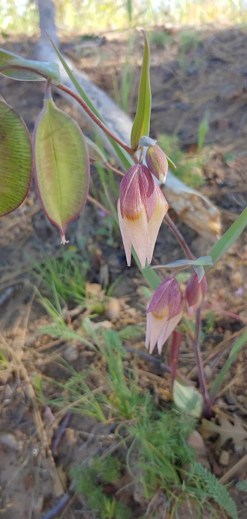
On the way down, we picked up our tents and other gear from the campsite and then began our final 2,000′ ascent going back up and out. It was also relentless, but not risky. We had lucked out with the weather — low 80s at most and with a fair amount of shade. This was also where we saw the most wildflowers — including Mariposa Lilies in several shades.
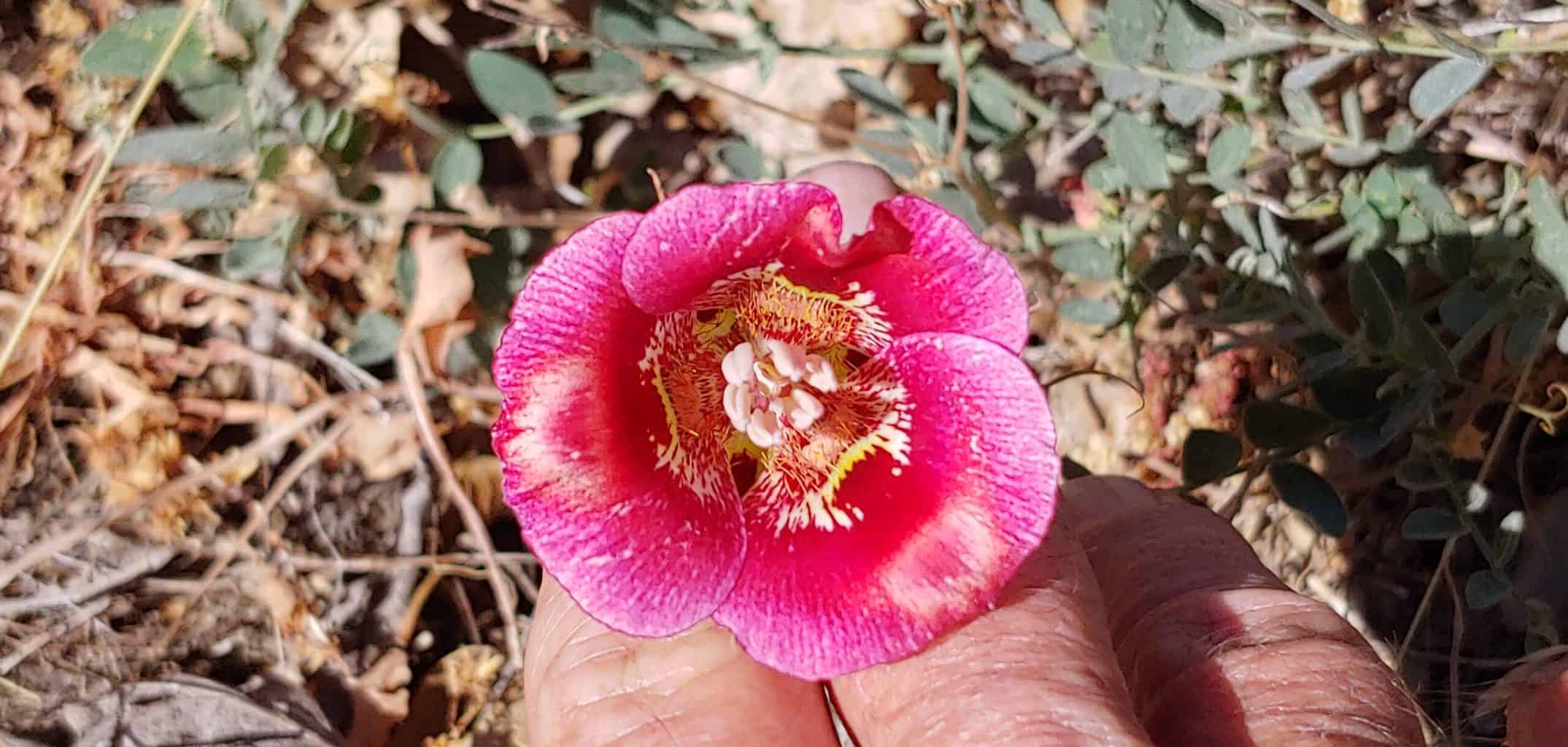
I was so happy to have made it through this unscathed. There were moments when I wanted to bail, but persisted and with no tears shed!
Hike 12.8 total. Elevation gain for the out and back 4,169 ft.
Route
Day 1: Start Coe Ranch Headquarters parking lot (parking and visitor fees charged at iron ranger) to Monument Trail (narrow, single-track dirt trail) to Hobbs Road (also nicknamed “The Shortcut”) (wide dirt/somewhat gravelly service road) to Upper Camp on Coyote Creek.
Day 2: Leaving our tents, sleeping bag and other non-essentials for the hike at the camp, we continued steeply up, up, up Hobbs Road to Blue Ridge where we turned SW and continued the last mile to Mount Sizer (3,216′).
We returned the way we came. Many, probably most, people continue on to make a loop through Jackass Flat (gets raves) and Poverty Flat, but for us, that would have required carrying our full backpacks, which we didn’t want to do.
Notes
Patricia Schaffarczyk is one of the 32 women featured in Walk, Hike, Saunter: Seasoned Women Share Tales and Trails.
The #NiftyNinetyPeaks Challenge was created by the S.F. Bay Chapter of the Sierra Club. We use the Peakbagger and All Trails websites to get some pre-hike information from previous hikers and go back to Peakbagger to record our ascents.

Actually, the Mariposa Lily variants were up on Blue Ridge, near the peak.
I stand corrected!