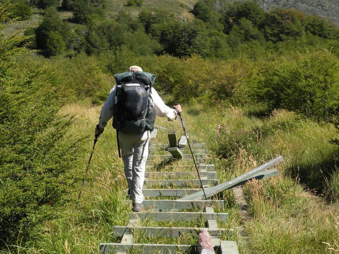
Susan Alcorn’s Backpacking & Hiking Tales and Tips, #269 December 2021
 Hi everyone,
Happy Holidays to you and yours!
Sorry if you’ve gotten any extra emails about our newsletters. It’s because of our change to wordpress for sending out the newsletter through my website www.susandalcorn.com We have a few more things to learn!
Contents:
#1. Three Books I Highly Recommend:
#2. “Footprints the People”— Barbara Anderson’s humorous podcast on hiking
#3. At 83, ‘Nimblewill Nomad’ Sets Record on the Appalachian Trail
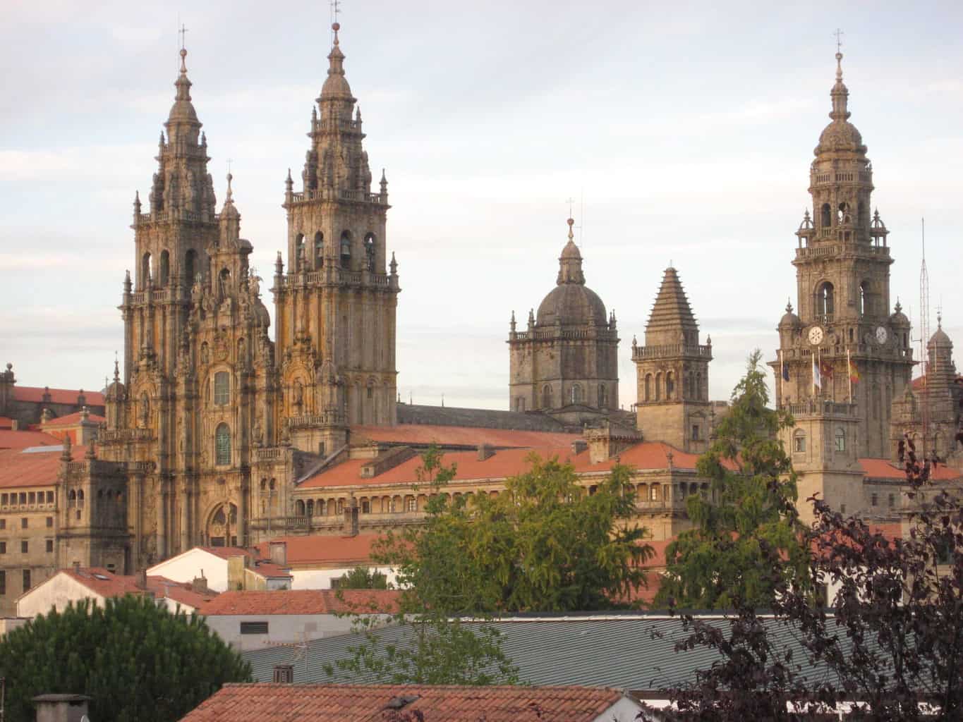
#4. Camino: Train schedule (new service) Madrid to Galicia.
#5. Andrew Skurka: Have fun while learning about backpacking from an expert
#6. Camino news: Yikes! Part of the arch at San Anton fell on a school bus
#7. The youngest calendar year triple crowners!
Regional San Francisco Bay Area:
#8.New Year’s Day Sonoma County Hike
#9. Bay Area Ridge Trail: Peninsula. Skyline College to Mussel Beach.
#10: Reminder: King Tides on coastal areas
Articles:
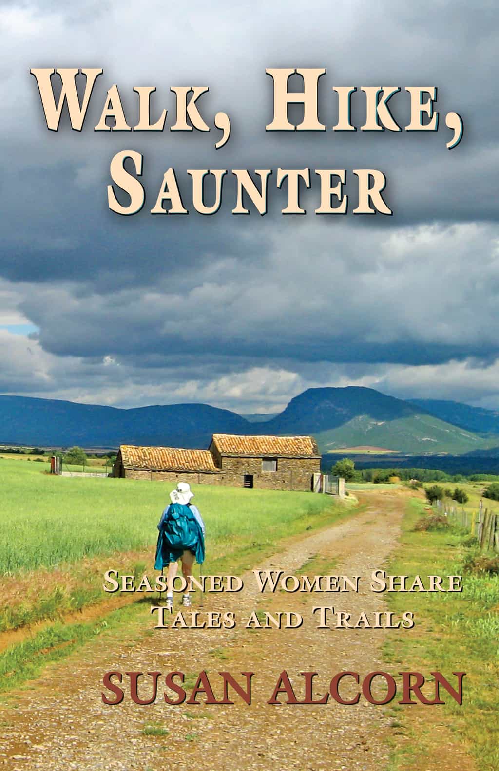
#1. A. Three books I can recommend: First is my Walk, Hike, Saunter: Seasoned Women Hikers Share Tales and Trails, which would be perfect for anyone who enjoys an inspiring, interesting, and entertaining book full of stories of adventuresome women. All of the 32 women are 45 or older—some have been “firsts” in the hiking world, all are excellent role models that have much to offer newer hikers. Link here.
Heather Anderson’s latest newsletter announced that she has now received the 4th printing of her book, Thirst: 2600 miles to home. She also is offering a course in January called, “FKT 101: Basics for Planning and Completing your First Fastest Known Time Course.” Link here.
From her website, “National Geographic Adventurer of the Year, Heather Anderson is the only woman who has completed the Appalachian, Pacific Crest and Continental Divide National Scenic Trails each three times. This includes her historic Calendar Year Triple Crown hike in 2018 when she hiked all three of those trails in one March-November season, making her the first female to do so.
“She also holds the overall self-supported Fastest Known Time (FKT) on the Pacific Crest Trail (2013)–hiking it in 60 days, 17 hours, 12 min, which broke the previous men’s record by four days….” “She also holds the female, self-supported FKT on the Appalachian Trail (2015) in a time of 54 days, 7 hours, 48 minutes, and the Arizona Trail (2016) which she completed in 19 days, 17 hours, 9 minutes.”
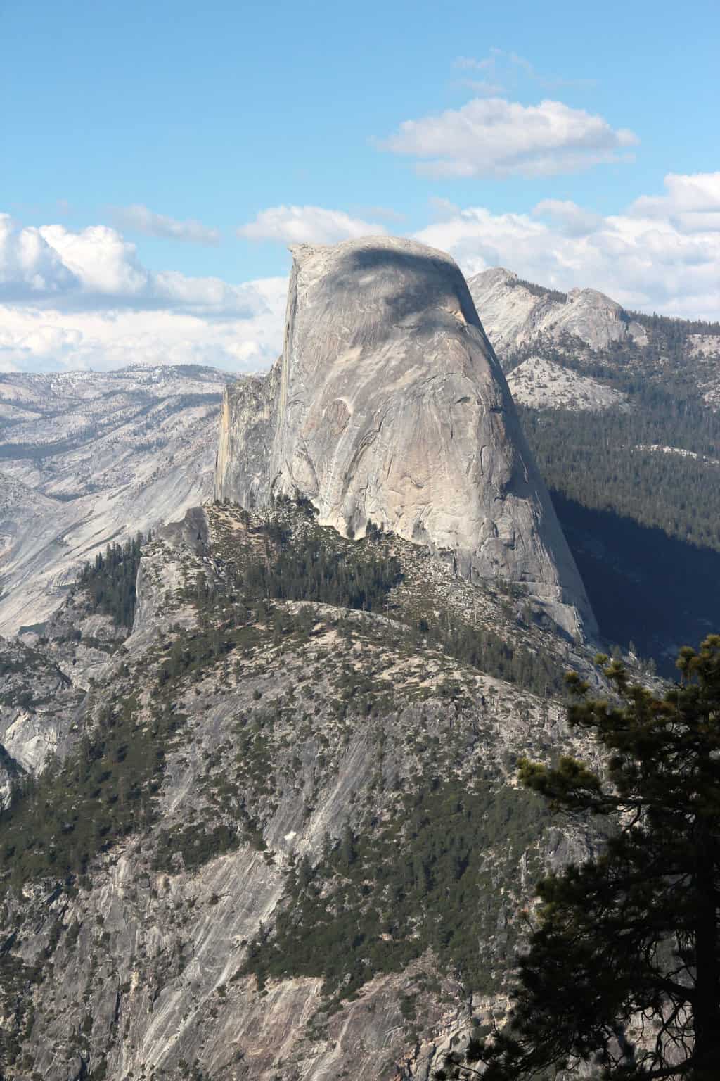
Yosemite Complete Hiking Guide by Elizabeth Wenk is out! This book includes every trail in the park and many in adjacent wilderness areas—more than 1,000 miles of trail. As with the previous edition, there is a detailed introduction to the park’s natural history, human history, and of course planning material, most of it entirely rewritten. In addition, there are new maps for every hike. There are lots of new geology and biology sidebars to enhance the trail descriptions. Link here. (Thank you, Jaunting Jan for the news!).
#2. “Footprints the People” is an entertaining podcast with Barbara Anderson (contributor to Walk, Hike, Saunter). She writes, “thought you might enjoy or possibly laugh at my interview for a British podcast on Long Distance walking….. “Footprints The People Podcast Barbara Anderson ” GOOGLE if you cannot reach Spotify. Link here.
#3. 83 year-old ‘Nimblewill Nomad’ Sets Record on the Appalachian Trail. M.J. Eberhart, better known to hikers as Nimblewill Nomad, hiked into Dalton, Mass., on Sunday, November 7 to become the oldest known person to hike the roughly 2,190-mile trail miles of trail from Georgia to Maine.
“Eighty percent of it is mental grit,” he said. “And that is why so many people fail.” He was celebrated by many at the finish line, including former record holder “Grey Beard,” (Dale Sanders, now 86) who had held the title since 2017. Grey Beard had driven up from his home in Tennessee to walk the final miles with Nimblewill Nomad.
Nimblewill Nomad did the entire hike, in sections, in one year. He actually began hiking from his home in Alabama, which is further back—doing day hikes—until he reached Georgia to jump on the AT on March 1, 2021. He averaged about 10 miles a day. He had previously completed the AT twice—1998 and 2001-2. There’s more in an article by Christine Hauser in the New York Times. Link here.
Earl Shaffer is the first known person to hike the entire length of the Appalachian Trail in one, continuous journey, which he did in 1948.
#4. Camino interest: Train schedule (new service) Madrid to Galicia. Follow the link to the schedule. The labels at the top of each train schedule can be confusing, so here are their meanings:
LMXJ — means Monday through Friday
LMXJS — Monday through Saturday
LMXJD – Monday through Friday and Sunday
diario — daily
Link to credit
#5. Andrew Skurka Adventures: “Our 2022 trip schedule is now available. April/May: Grand Staircase-Escalante in southern Utah; May: Great Sand Dunes National Park in Colorado; June/July: Gates of the Arctic National Park, Brooks Range, Alaska; July: High Sierra, California; September: Olympic National Park, Washington (new for 2022); October: West Virginia during peak fall colors.”
If you aren’t acquainted with Andrew Skurka, here’s info about him: “I’m an outdoor athlete, writer, and guide. In my twenties I hiked 30,000+ miles from sea to sea, around the West, and in Alaska. Since then I started a guide …” from his website at https://andrewskurka.com
Apply for a 2022 trip starting Monday, December 13, 2021 [places will fill fast].
Benefit from:
“Next-level instruction. We will help you develop the skills and knowledge necessary to lead the group and to undertake similar trips of your own in the future. The learning starts months before with our Plan Like A Pro course, and continues with an extensive field curriculum.
“Expert guides. We combine extensive first-hand backpacking experience with excellent people skills, relate-able family and work lives, and a passion for teaching and for our trip locations. It’s truly an all-star team.
“World-class locations. Our venues are among my all-time favorite spots, and we know where to find spectacular scenery, refreshing swimming holes, fascinating archeological sites, blissful off-trail travel, and secluded campsites.
“Cohesive groups. We painstakingly match applicants who have similar physical abilities and outdoor experience, and we try to give each group a balance of genders, ages, and other biographical details. Our groups frequently feel like “tramilies” and plan trips together afterwards.”
#6. Camino news: Yikes! Part of the arch at San Anton (on the Francés route) fell and landed on a school bus. Luckily no one was injured. Article here.
#7. 21-Year-Olds, Sammy Potter and Jackson Parell, Just Became the Youngest Calendar-Year Triple Crowners. To make their way through the challenges of weather, they bounced around on the three trails — over 7,000 miles of hiking that covers the Appalachian Trail, the Pacific Crest Trail, and the Continental Divide Trail.
They started on January 1, 2021 on the Appalachian Trail’s southern end at Springer Mountain. In February the moved over to the Continental Divide in New Mexico; they moved over to do a section of the Pacific Crest Trail headed south from Kennedy Meadows. They finished their record-setting hike on October 22, 2021. There is more to the story, which you can read at link here.
Flyin’ Brian Robinson was the first person to complete a Calendar-Year Triple Crown in 2001. And, as mentioned earlier, Heather “Anish” Anderson, was the first woman to do so.
Regional Bay Area:
 #8. Jack London State Historic Park First Day Hike. The park, in California’s Sonoma Valley, kicks off the new year with Ninth Annual First Day Hike – January 1, 2022. The trek can be either a personal challenge to make it to the park summit or the first step in a commitment to a healthier new year. Either way, it is designed for all fitness levels with guides to help hikers return to the parking lot at any time. First Day Hikes are held throughout the country, supported by America’s State Parks, and at parks statewide with California State Parks.
The hike begins at 10 a.m. and will conclude at around 2:30 p.m. The roundtrip route is eight miles long and moderately strenuous. Participants will meet in the Ranch parking lot, to the right of the park’s entrance kiosk. The hike will be cancelled in the event of rain.
Reservations are required https://jacklondonpark.com/events/ and can be made at First Day Hike 2022 | Jack London State Historic Park (jacklondonpark.com). Tickets are $10 per person, in addition to $10 per car entry fee (up to nine passengers). (Thank you Laurie Armstrong Gossy for the news.) Photo: Jack London’s Wolf House.
#9. Bay Area Ridge Trail. While waiting for longer days to complete the Nifty Ninety Peak Challenge, we are enjoying doing sections of the Bay Area Ridge Trail. Our most recent hike was on the S.F. Peninsula in Pacifica. What a delightful segment—from Skyline College to Mussel Beach. Short as most of the sections are, but from our start at the southern end of the walk, we went through the GGNRA Milagra Park, with displays with information about the former Nike Launch site that was there during the Cold War era of the 40s and 50s, and then onward along wonderfully well-groomed trails that took us to a spiral (related to a labyrinth) with outstanding views all along. Then down the hillside to walk along the cliffs above the ocean north to the end at the picturesque Mussel Rock. It’s about 4.5 miles, but we did a bit more to see the off-trail views. Easy, going north is downhill.
#10. REMINDER: King Tides near you? “A King Tide is a non-scientific term people often use to describe exceptionally high tides. Tides are long-period waves that roll around the planet as the ocean is “pulled” back and forth by the gravitational pull of the moon and the sun as these bodies interact with the Earth in their monthly and yearly orbits. Higher than normal tides typically occur during a new or full moon and when the Moon is at its perigee, or during specific seasons around the country.” National Ocean Service info.
Here’s a Bay Area walk you can take with Berkeley Path Wanderers: “King Tides Walk: History and Rising Seas.” When: Sunday, Dec. 5, 10 a.m. Leader: Susan Schwartz. Sea Breeze Market, 598 University Ave., Berkeley.
“During one of winter’s highest tides, enjoy a relaxed loop around Berkeley’s restored “meadow,” with short spurs. We will walk rain or shine. Dress in layers for quick-changing weather, and expect puddles, muddy or even flooded paths, and crossing a construction site. Sorry, no dogs allowed in part of the area we will cross.
+++
Thank you everyone; enjoy your holidays. Stay well, keep hiking when prudent. I encourage you to send in items of interest to the hiking community to me at backpack45 “at sign” yahoo.com
Susan ‘backpack45’ Alcorn
Shepherd Canyon Books, Oakland, CA
https://www.susandalcorn.com
https://www.backpack45.com
Author of Walk, Hike, Saunter: Seasoned Women Share Tales and Trails Healing Miles: Gifts from the Caminos Norte and Primitivo
Patagonia Chronicle: On Foot in Torres del Paine
Camino Chronicle: Walking to Santiago
We’re in the Mountains Not over the Hill: Tales and Tips from Seasoned Women Backpackers
Please note: Hiking and backpacking can be risky endeavors. Always be prepared for emergencies and carry food, water, shelter (warm clothing, etc.), flashlight/headlamp, matches, first aid supplies, and maps. Cell phones don’t always work. Leave word where you are traveling and when you are due back.
 #4. Sylvia Nilsen’s guided Camino walks.