 Wishing you a happy and safe 4th of July!!!
Contents:
#1. Yosemite’s new climbing exhibits — read more
#2. “Hiking the Appalachian Trail: A Beginner’s Guide” by Karen Berger
#3. Amanda Schaffer, the Pilgrim Pouch, and Susan Alcorn’s interview
#4. Six Moon’s description of trail on Mt. St. Helens
#5. We are changing newsletter hosts
#6. Lightning risk ratings
#7. Pilgrim Gathering — reminder
#8. John Ladd presents
#9. The ALDHA-West Gathering to be Virtual in 2021
Articles:
#1. Yosemite’s new climbing exhibits and Telling Yosemite’s Story: Climbing in Yosemite. “Yosemite’s granite walls have carved their place in the history of climbing. Decades ago, Half Dome and El Capitan became the birthplace of big-wall climbing. Since then, climbers have come from all over the world to make history on the park’s iconic walls. Over the years, those climbs have spurred innovations in climbing gear, technique and stewardship.
And today, climbing Yosemite is more popular than ever. Now, the park has new exhibit reflecting this significant history; “the climbing-curious will be able to explore all those aspects of Yosemite’s rich climbing story through new educational exhibits in the Yosemite Valley Visitor Center.”
#2. Excellent article, “Hiking the Appalachian Trail: A Beginner’s Guide” by Karen Berger in Outside Magazine online. I learned two new terms, “’Lashes’—long-ass section hikers—take on several hundred miles at a time,” while “’Sashes’—short-ass section hikers” and much new info. https://www.outsideonline.com/2424964/beginners-guide-to-the-appalachian-trail
#3. Amanda Schaffer, an incredibly creative artist, has developed a useful item called the Pilgrim Pouch for Camino-bound travelers. She also interviewed me last month and I am delighted to share her blogpost. https://pilgrimpouch.com/camino-de-santiago/journeys-writer-susan-alcorn/
#4. Six Moon’s description of trail on Mt. St. Helens. The Loowit looks like a fascinating and challenging hike into an amazing (and active) volcanic area. https://tinyurl.com/mvev3hm
#5. Notice of newsletter host change from Google Groups to my website: This newsletter has been coming to you through the Google Groups system. We are planning to produce this newsletter on my susandalcorn.com website soon. Once that happens, you will be getting the newsletter from su…@susandalcorn.com . Hopefully this will be a seamless transition, but let me know if anything thing seems strange. I will move my subscriber list to susandalcorn.com. You all have opted in, but possibly you will get a one-time opt in request from this new system.
#6. Lightning risk ratings: Lightning can be, understandably, a concern to hikers and backpackers. Here is a graph that shows relative risk of being in various locations. Click here.
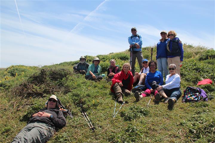
#7. Pilgrim gathering: Reminder: “Pilgrimage: A Circular Journey, St. James’ Day Celebration at Saint Mary’s College, Notre Dame, IN, July 23-26, 2021. A dedicated team of volunteers from the local Midwest chapters of American Pilgrims on the Camino has been hard at work on a St. James’ Day celebration and registration is now open! Registration is filling up and is limited to 150 attendees. Registration will close at 11:59 p.m. on July 6th. Registration, click here.
“Full registration ($369 with member discount) includes: eight meals (Friday dinner through Monday breakfast); all beverages (including receptions); three nights’ lodging in Le Mans Hall in a dormitory room (shared bathrooms); participation in all activities.
“Couples will be in double-occupancy accommodations; all other attendees will be single-occupancy (with no single supplement required). Bathrooms are shared and linens will be provided, but bring your own toiletries, hairdryer, and other personal items. Commuter registration ($239 with member discount) does not include lodging or breakfast.
“Check-in opens at 2:00 p.m. on Friday, July 23 and the program begins Friday evening and continues until noon on Monday.
“Planned program activities include informative presentations, morning walks (bring your walking shoes, hat and sunscreen), and service and social activities, all while building community with other pilgrims. There will be several musical performances, a wine appreciation class, and presentations by George Greenia, Stacey Wittig and Annie O’Neil. We’ll be joined virtually by several other presenters including Dave Whitson, Dan Mullins, Alexander John Shaia and Victor Prince. On Sunday there will be an optional Catholic Mass to celebrate the Feast of St. James, a shell ceremony for pilgrims planning to walk their first Camino within the next year and evening fireworks courtesy of Visit South Bend.
Want more program information? Follow this link to view the draft program. Attendees must provide proof of receiving the Covid-19 vaccination upon check-in and comply with all recommended Covid-19 protocols established by the University and local health department. We will be wearing masks and social distancing.
Follow this link to learn more, join or renew your American Pilgrims membership. The promo code is posted on the member welcome page.
Once you’ve registered, don’t forget to join to Celebration Facebook group.
http://events.saintmarys.edu/s/1611/index.aspx?sid=1611&pgid=2284&gid=6&cid=6535&ecid=6535&post_id=0
#8. John Ladd’s (JMT forum administrator) presentation, “Trailcraft ideas for JMT hikers…” The original was a ZOOM presentation, but if you missed it you can listen [perhaps see the slides by now]. The audio (somewhat edited by Carol Coyne) is available at click here.
“There were a lot of visual materials that I used with the presentation, and they are available in this Google Drive folder. You download these materials as a PowerPoint file (the best way to view the materials, if you can play PowerPoint presentations), of view it within Drive as a Google slides document of download it as a PDF file. These visual materials also include additional links and other information that I added post-presentation.”
https://drive.google.com/drive/folders/1FXIkkPsToaKGzcI5HJvQLRsffGA8Izdn?usp=sharing
#9. The ALDHA-West Gathering to be virtual in 2021: American Long Distance Hiking Association-West writes, “We’ve decided to go virtual this year for the Gathering. It was an extremely difficult decision given that we miss smelling your hiker stench and being able to fist-bump in person. However, we were in a position to make a commitment to a venue that was a significant financial risk, coupled with extremely reduced capacity that would make such an event untenable for us. For that reason, we’re partying Zoom-style again this year!
“Mark your calendars for: Triple Crown Award Ceremony; Tuesday October 5th @ 5pm Pacific. The Gathering: Thursday October 7th @ 5pm Pacific.
“Stay tuned for Triple Crown applications. As well as new board member nominations. In the meantime: do you or a hiker you know have skillz with video slideshow creation? We are looking for help putting together the Triple Crown video this year and would love a volunteer to help lead the charge. Also, start ponderin’ the possibility of joining the board. ALDHA-West needs YOU to keep on hummin’.
“Til next time, DNR, Zuul, Peaches, Blis, The Prodigy, Fireweed, Giggles, Hummingbird and Kimchi. Email us to volunteer! secr…@aldhawest.org Info: www.aldhawest.org “
++

Thank you everyone. Stay well, keep hiking when prudent. I encourage you to send in items of interest to the hiking community. backp…@yahoo.com
Susan ‘backpack45’ Alcorn
Shepherd Canyon Books, Oakland, CA
https://susandalcorn.com
https://www.backpack45.com
Author of Walk, Hike, Saunter: Seasoned Women Share Tales and Trails; Healing Miles: Gifts from the Caminos Norte and Primitivo, Patagonia Chronicle: On Foot in Torres del Paine; We’re in the Mountains Not over the Hill: Tales and Tips from Seasoned Women Backpackers; and Camino Chronicle: Walking to Santiago.
Please note: Hiking and backpacking can be risky endeavors. Always be prepared for emergencies and carry food, water, shelter (warm clothing, etc.), flashlight/headlamp, matches, first aid supplies, and maps. Cell phones don’t always work. Leave word where you are traveling and when you are due back.
To subscribe, unsubscribe, or send a message to this (almost) monthly newsletter, please email Susan at backpack45 “at sign” yahoo.com
Continue reading “Susan Alcorn’s Backpacking & Hiking Tales and Tips, July 2021”