San Bruno Mountain Late wildflower bloom
Our hiking destination last week was San Bruno Mountain, which is a San Mateo County Park. For us, this was peak #46 of the Bay Chapter Sierra Club’s Nifty Ninety Peak challenge.
San Bruno’s summit, at 1,314 feet, is accessible by car (on Radio Road) or on foot, but of course we wanted not only a successful summit, but also a good hike.
We drove in on the Guadalupe Canyon Parkway and parked in the main paved parking area at the San Bruno Mountain Park entrance. Fees were collected through self-registration ($6), but we were happy to see that seniors had free admission on weekdays. Nearby were picnic tables, barbecue pits, restrooms, a drinking fountain, and a grassy area where one could enjoy a game of tag or volleyball.
 The trail
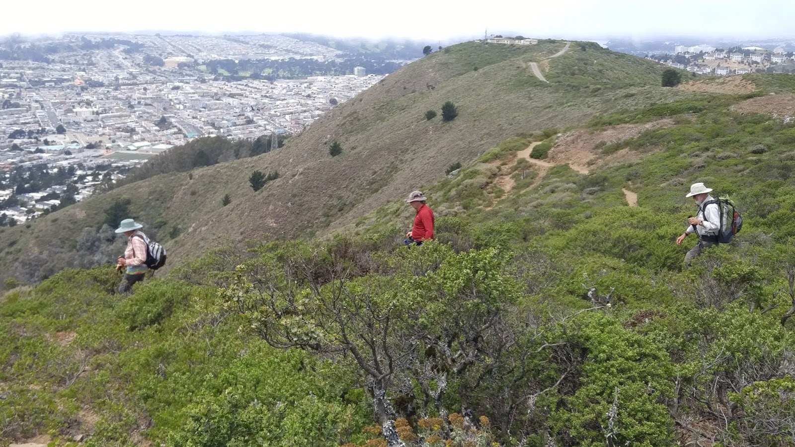
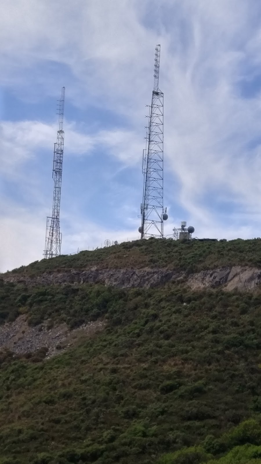
We picked up a trail map (link here) at the trailhead and crossed under Guadalupe Canyon Road to get onto the Summit Loop Trail (passing a smaller parking area along the way). At Point 14 on the map, one can turn right onto the Summit Loop Trail, but we decided to go left and do the climb to the peak first, thereby doing the trail clockwise. Near the top, we turned right at Point 18 onto the Ridge Trail, which took us past a couple of clusters of transmission towers surrounded by chain link fence.
We walked through the parking lot and took a photo of the survey mark. Although we were at the designated point, there was a rise that was a bit higher than the parking lot. We tried to find a way to get higher, but passage was blocked and the enclosed area sported signs that reminded us that there were materials inside that exceeded safe levels.

Do this one for the views
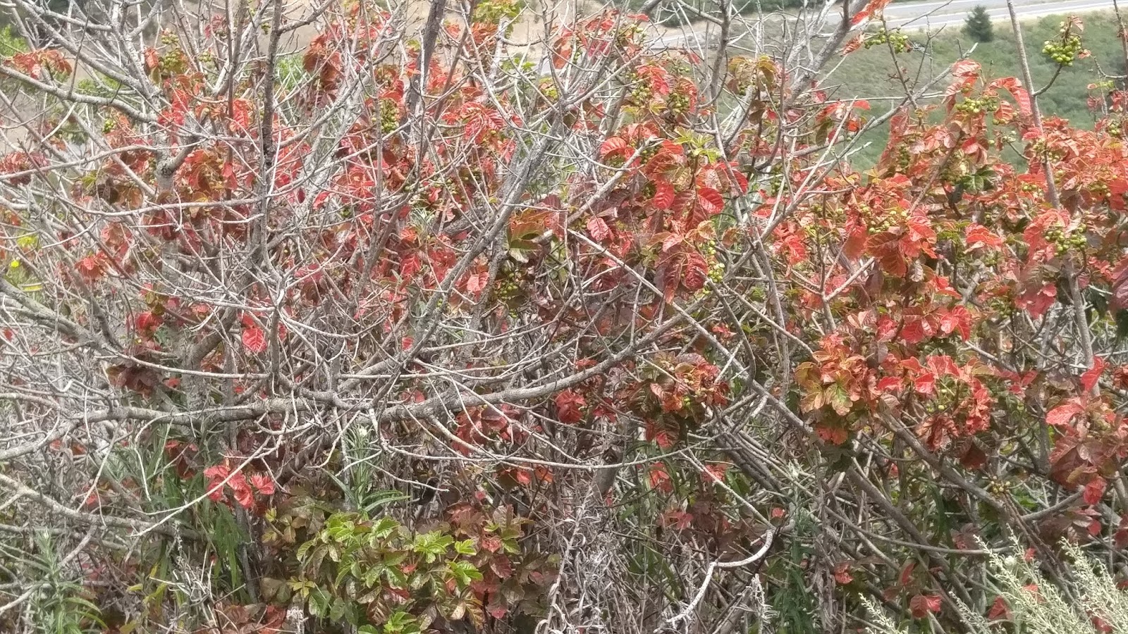
Watch for Poison Oak
For me, San Bruno Mountain was an unexpected treat–most of the time the temperature was in the 60s and 70s with clear skies, but we also watched the fog roll in over the towers after we had passed them—a reminder that this area can be quite foggy and windy.
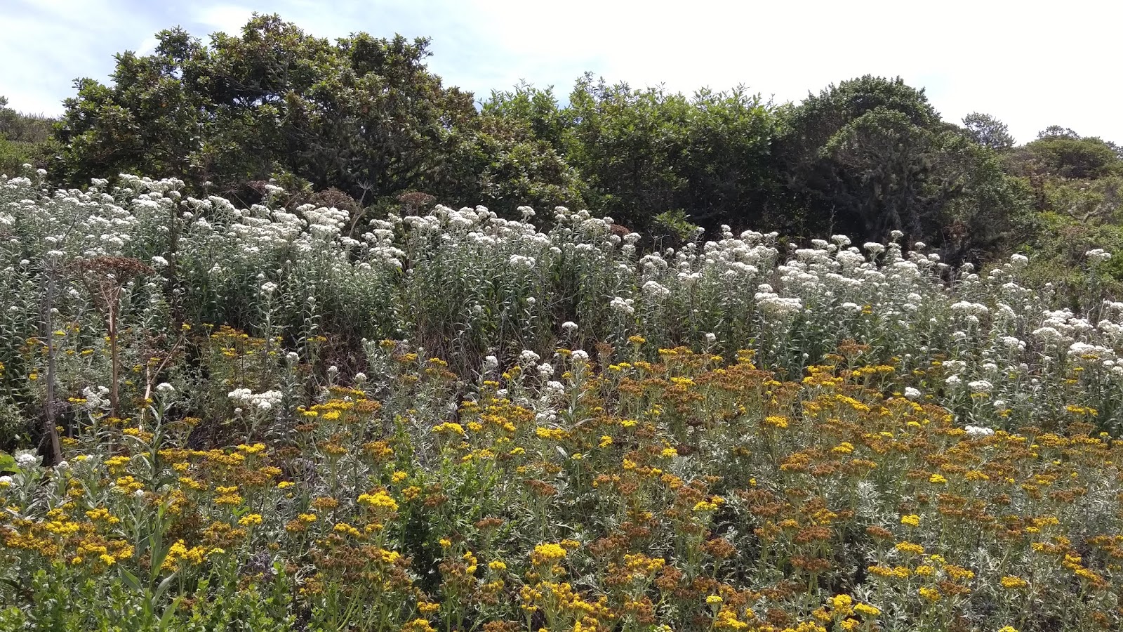
Although I expected the mountain to be in summer ‘mode’ with dry grass, the blooms and blossoms we found were amazing. When you go, be sure 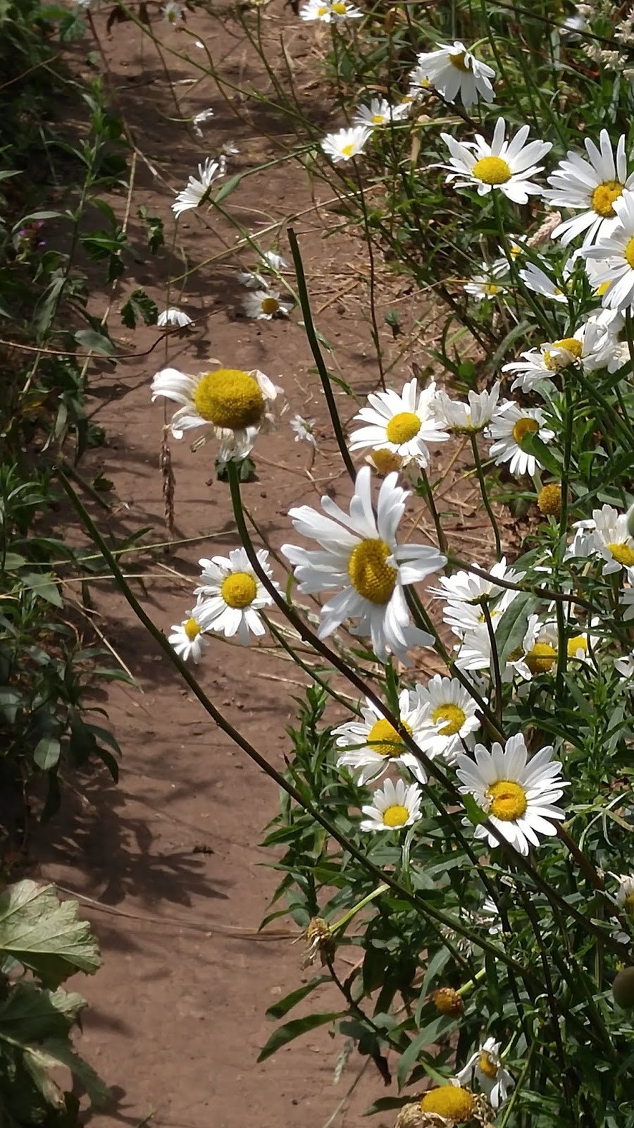 to also look for some of the endangered species of butterflies that live here—the San Bruno Elfin, Mission Blue, Callippe Silverspot and Bay Checkstop.
More info:
No dogs allowed.
Hiking poles came in handy on this moderate hike.
Trail map of Summit Loop Trail only, going counter-clockwise. https://parks.smcgov.org/summit-loop-trail
Schedule of fees, click here.