Susan Alcorn’s Hiking & Backpacking Newsletter, Mar. 2026.
So much going on in the outdoors!

CONTENTS:
1. Wilderness First Aid Courses
2. Bay Area Ridge Trail: A new exciting and ambitious plan
3.Wilderness Volunteers’ great project in Tehipite Valley, Kings Canyon National Park.
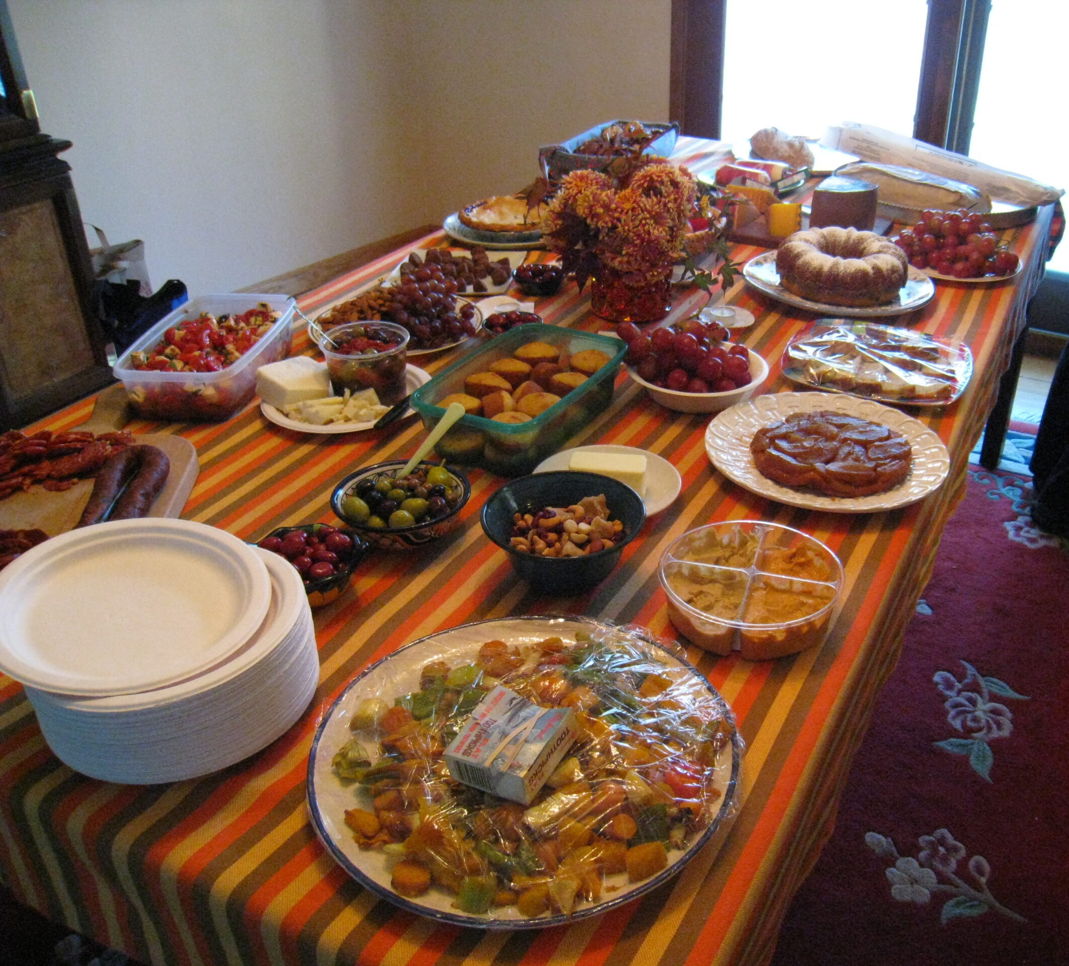
4. Shell Ceremony & Potluck – Saturday, March 21, 10:00 AM – 3:00 PM. Northern California Chapter – American Pilgrims On the Camino
5. Trust for Public Land: To Create the Yellowstone Heritage Trail”
6. First Aid Tip for Hikers
STORIES:
1. Wilderness First Aid Courses: There are several groups that offer first aid classes available and it is wise to take such training whether you will be doing remote backpacking alone or with a group. Here are some possibilities:
A: Sierra Club: Wilderness First Aid. The Bay Chapter offers Wilderness First Aid classes intermittently throughout the year. Classes are posted on the chapter calendar. This course satisfies first-aid requirements for most Bay Chapter outing leaders (confirm requirements with your section/group officers). https://www.sierraclub.org/sfbay/wfa
“Students have two options: You can take the one-day class on Saturday and receive the Basic Wilderness First Aid certification of the National Association for Search and Rescue Institute—$50 for members/$60 for non-members. Basic WFA is a practical, eight-hour course that prepares you to recognize and avoid wilderness hazards, and do first aid outdoors with whatever equipment you have or can improvise. Or, you can take the two-day class for an additional $30/$40, and receive the higher-level WFA certification. This option adds more advanced skills and role-playing scenarios.”
B: Safety Training Pros: “What You’ll Learn: During this comprehensive Kenwood Wilderness First Aid training, you’ll practice real-world scenarios and learn; How to treat common outdoor injuries such as cuts, sprains, and broken bones; How to recognize and respond to heat illness, dehydration, and hypothermia; How to make an emergency plan when professional help is hours away; How to stay calm and act with confidence in stressful situations.” https://safetytrainingpros.com/wilderness-rescue-training/
C: Wilderness and Remote First Aid (WRFA) Weekend. This one is open to adults, but primarily for leaders of Scout groups (who get a discount of sessions). “The “Wilderness and Remote First Aid (WRFA) Weekend” is offered as a combined training opportunity for CPR/AED and WRFA, meeting Boy Scouts of America (BSA) requirements for high-adventure activities. WRFA is a 16-hour, nationally recognized course designed to prepare adult leaders for medical emergencies in remote and backcountry environments where professional medical care may be delayed. WRFA certification is required for participation at BSA National High Adventure Bases, including Philmont Scout Ranch, Sea Base, Northern Tier, and Bechtel Summit, as well as many council high-adventure camps and treks. https://training.goldengatescouting.org/wilderness-first-aid-2/”
#2. Bay Area Ridge Trail goes for National Scenic Trail Status: “Something historic is happening for the Bay Area Ridge Trail. The Ridge Trail is approaching a milestone that only a handful of trails ever reach: designation as a National Scenic Trail. This would place the Ridge Trail alongside iconic long-distance trails like the Appalachian and Pacific Crest Trails—recognizing the Bay Area’s commitment to conservation, connection, and public access.
Our journey to National Scenic Trail status is built on decades of steady progress and sustained community support, from Ridge Trail members like you. Renew or Join Today”
#3. Volunteer in in Kings Canyon National Park. Project Details, August 22nd – 29th, Location: Kings Canyon National Park (central CA). Backpacking with support. Challenging: Hike in 17 miles to basecamp with 4,500′ elevation change. This is a high elevation project: 6K+ ft.
This project will focus on removing invasive Himalayan blackberry deep in the Kings Canyon backcountry.
Because this project requires a long hike into basecamp, our group will take two full days to complete the hike in and two full days to complete the hike out. Please view the full project itinerary on the project page here.
(This will be a challenging job, but I can tell you from our experiences with Wilderness Volunteers that they are well-organized, food is good, and you’ll meet interesting people while helping the environment. (Susan).
Wilderness Volunteers | P.O. Box 22292 | Flagstaff, AZ 86002.

#4. Shell Ceremony & Potluck – Saturday, March 21, 10:00 AM – 3:00 PM, Oakland, California. Northern California Chapter – American Pilgrims On the Camino. “Help us celebrate our pilgrims heading out to the Camino this year at our annual Shell Ceremony & Potluck. We’ll gather at St. Augustine Church in Oakland with Rev. Beth Linde Foot to confer scallop shells (symbol of the pilgrimage) to outbound pilgrims as well as recognize departing volunteer hospitaleros.
“If you’re looking for a quieter, gentler way to experience the Camino Francés, stick around after lunch for a presentation on alternative routes that connect to this classic path. We’ll explore scenic options at the start on the Camino de Baztán and Camino Aragonés, and a peaceful finish by diverting onto the Camino de Invierno. A panel of Camino veterans will share their stories, tips, and insights on these less-traveled, more serene routes.
“Advance online registration is required. Click the Register Now button below to sign up by Friday, March 20. Shell Ceremony & Potluck 2026 Registration Cancellation: If you are unable to attend, please email us at norcal@americanpilgrims.org so we can update our list.
#5. The Trust for Public Land to create “the Yellowstone Heritage Trail”. A better way to experience Yellowstone starts here. “We’re transforming the abandoned rail line into the Yellowstone Heritage Trail: a 56-mile protected greenway, connecting nearby towns to the park’s northern entrance.
“More than a century ago, a railroad built in 1903 delivered the first visitors to Yellowstone. Over time, the trains disappeared, but the rail corridor remained. Today, Trust for Public Land and our partners are giving that historic route a new purpose.
“For those who call Paradise Valley home, the trail means safer ways to run errands, meet neighbors, and spend time outdoors. For visitors, it offers a quieter way to explore Yellowstone’s surrounding towns.
“And the number of people who pass through Yellowstone each year helps show why safe, connected routes matter here.
https://www.tpl.org/our-work/yellowstone-heritage-trail?s
#6. A handy addition to your first aid kit on the Camino. On our recent Tunnel Tops/Presidio hike earlier, I received a helpful tint from one of our members. “Here is info about the antiseptic I mentioned. This can be a handy addition to your first aid kit on the Camino: a spray bottle (25 ml) of Chlorhexidine Gluconate (this one seems to be chlorhexidine digluconate, in Spanish). I purchased it at a pharmacy in Spain for around 6 or 7 euros. It is great for spraying on cuts, abrasions, or blisters. According to ChatGPT, the chemical is better than most of what is sold in the USA as a spray antiseptic. As far as I have been able to determine, it is not available in the US, even through Amazon. It is small (25 ml), and lightweight. It continues to kill germs (bacteria and some other nasties) even after it has dried on your skin.
“A pilgrim I met on the Camino had some serious foot issues, and after he sprayed his foot one evening and the next morning, he said he saw significant improvement the next day. So, the next time you are in Spain, you might visit a pharmacy and show them this photo and pick up a small bottle. A similar product is also sold in other European countries (I saw one with a German label).
“I noticed on the web that 4% chlorhexidine gluconate spray is sold in the US on dog-care web pages (don’t know if recommended for humans). This one by Lusan is 2%. There is a cleanser available online that is used at hospitals using 4% chlorhexidine gluconate called Hibiclens – but that is a cleanser, whereas the Lusan product is a spray-on and leave-on solution.

This is where you are–on the Camino Frances!
Happy Trails,
Susan Alcorn
Susan ‘backpack45’ Alcorn
Shepherd Canyon Books, Oakland, CA
https://www.susandalcorn.com
https://www.backpack45.com
Author of Walk, Hike, Saunter: Seasoned Women Share Tales and Trails; Healing Miles: Gifts from the Caminos Norte and Primitivo; Patagonia Chronicle: On Foot in Torres del Paine; We’re in the Mountains Not over the Hill: Tales and Tips from Seasoned Women Backpackers; and Camino Chronicle: Walking to Santiago.
Thank you everyone. Stay well, keep hiking when prudent. I encourage you to send in items of interest to the hiking community to me at backpack45 “at sign” yahoo.com
Hiking and backpacking can be risky endeavors. Surely over the last couple of months you have heard, or read about some wilderness rescues. Dayhikes can go bad – people get lost and have to spend the night (nights) outdoors. Always be prepared for emergencies and carry food, water, shelter (warm clothing, etc.), flashlight/headlamp, matches, first aid supplies, and maps. Cell phones don’t always work. Leave word where you are traveling and when you are due back.


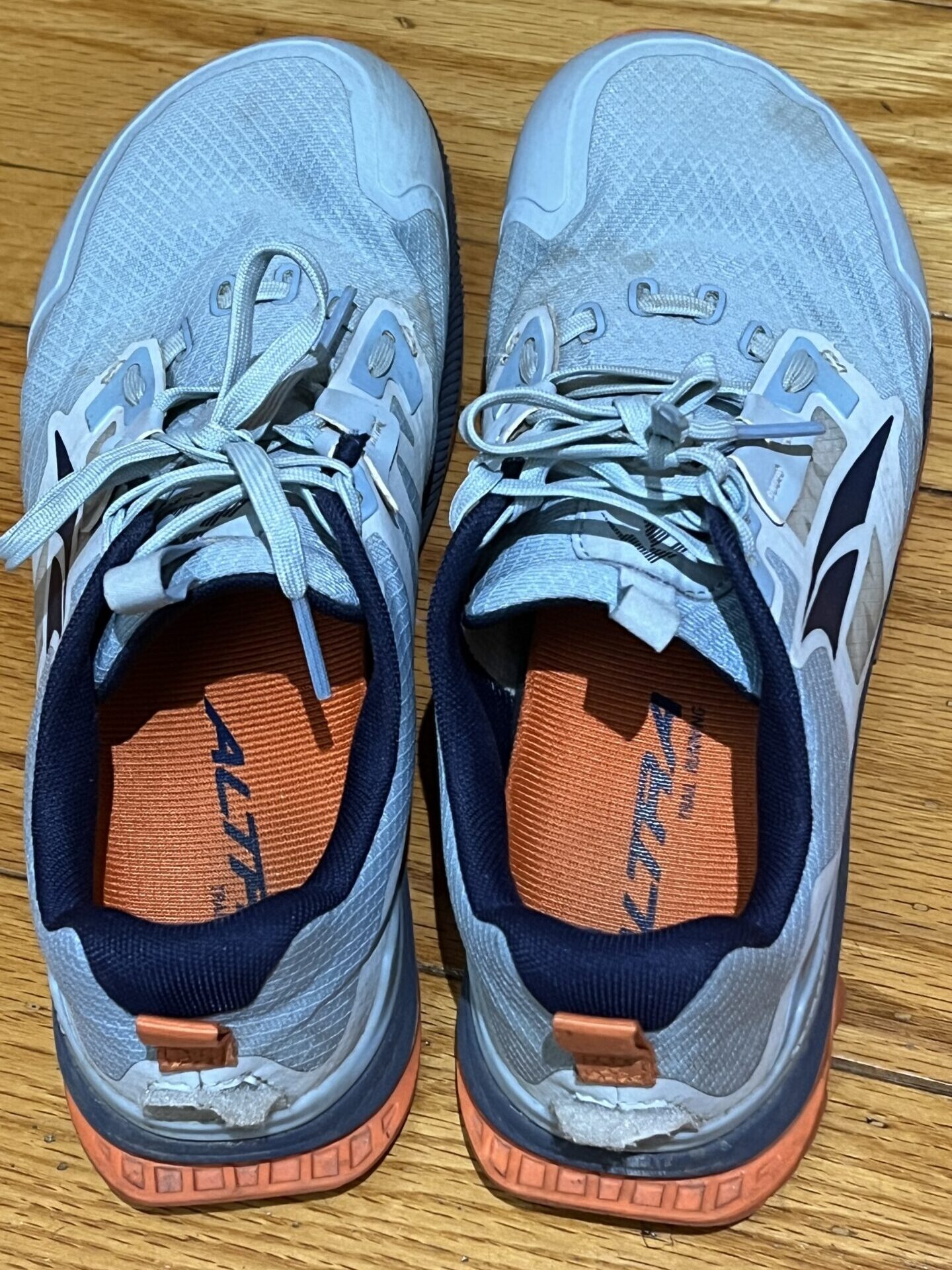 Altra Lone Peak
 Sunol Regional Park