
Ok, perhaps tackling Berryessa Peak isn’t exactly a major expedition, but for us it requires some extra planning. The peak, at 3,057 feet, isn’t the highest of the ‘Nifty Ninety’ Peaks, but the elevation gain is given as 3,500-feet. That, with its distance out and back of 14.5 miles, is a bit too much for a day hike for us. On top of that, our driving time from home is two hours each way. What to do?
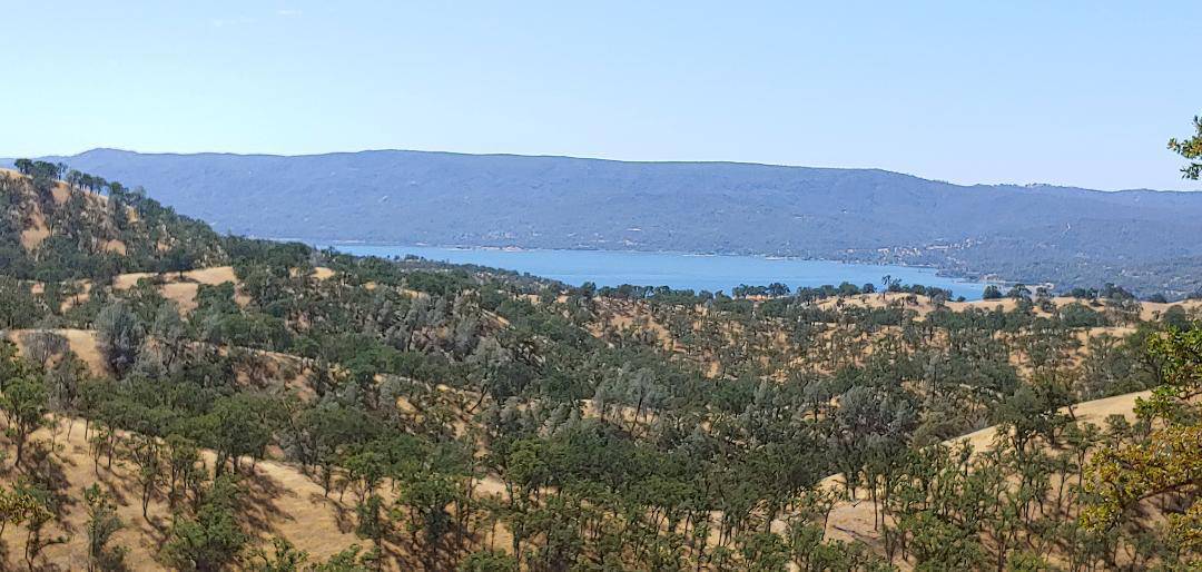
Berryessa Peak, Lake Berryessa and vicinity
Ralph, probably because he is raring to do this peak, drove up to the Wine Country to get a lay of the land in early August. Summers in the area can be hot–they regularly hit the 90s and 100s. Nevertheless, he set out–very early and with adequate water–that fine day.
He didn’t plan to do the entire hike; he wanted to figure out where we could camp partway along. When he came home, he reported that he had found a place where we could camp. It was up a draw to a flat area about four miles along.
After hiking a quarter-mile in from the highway, camping within the Knoxville Wildlife Area or the BLM lands is legal. But further along, hikers have to stay within an easement area for a short distance as the trail goes through private property.
Ralph’s main concern remains the lack of water. If we camp, we will either need to carry all we need or cache some ahead of time because there is none in the area when the creeks are dry.
Exploring Berryessa Peak Trail again
In early September, we decided to go up again. I had never been to Lake Berryessa and looked forward to seeing both the lake and the first part of the trail. The trailhead, which starts in the Knoxville State Wildlife Area, is next to a pullout alongside the Knoxville Road and is marked Berryessa Peak Trail. Because it was forecast to be hot again, we planned only to get in our 10,000 steps while enjoying the hike.
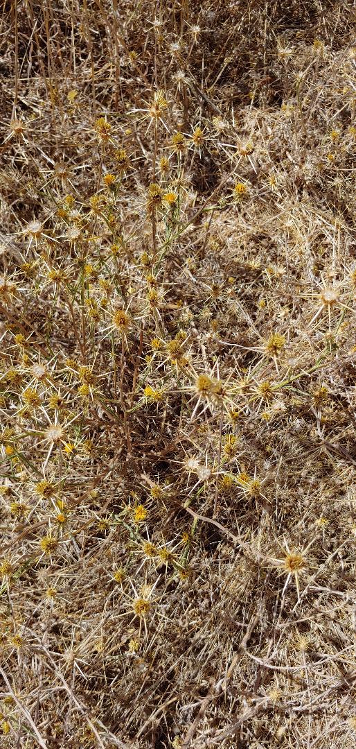
The first 1.6 miles of the trail was easy. And the recent, short-duration hunting season (check the website for future dates!) probably improved the conditions, because the awful Star Thistle had been somewhat flattened by the increased foot traffic along the route.
As we followed the dirt track of the old ranch road, we tried to avoid bumping into the Star Thistle. We had worn long pants to protect our legs from the sharp spines. I had even dug out my Dirty Girl Gaiters for added protection
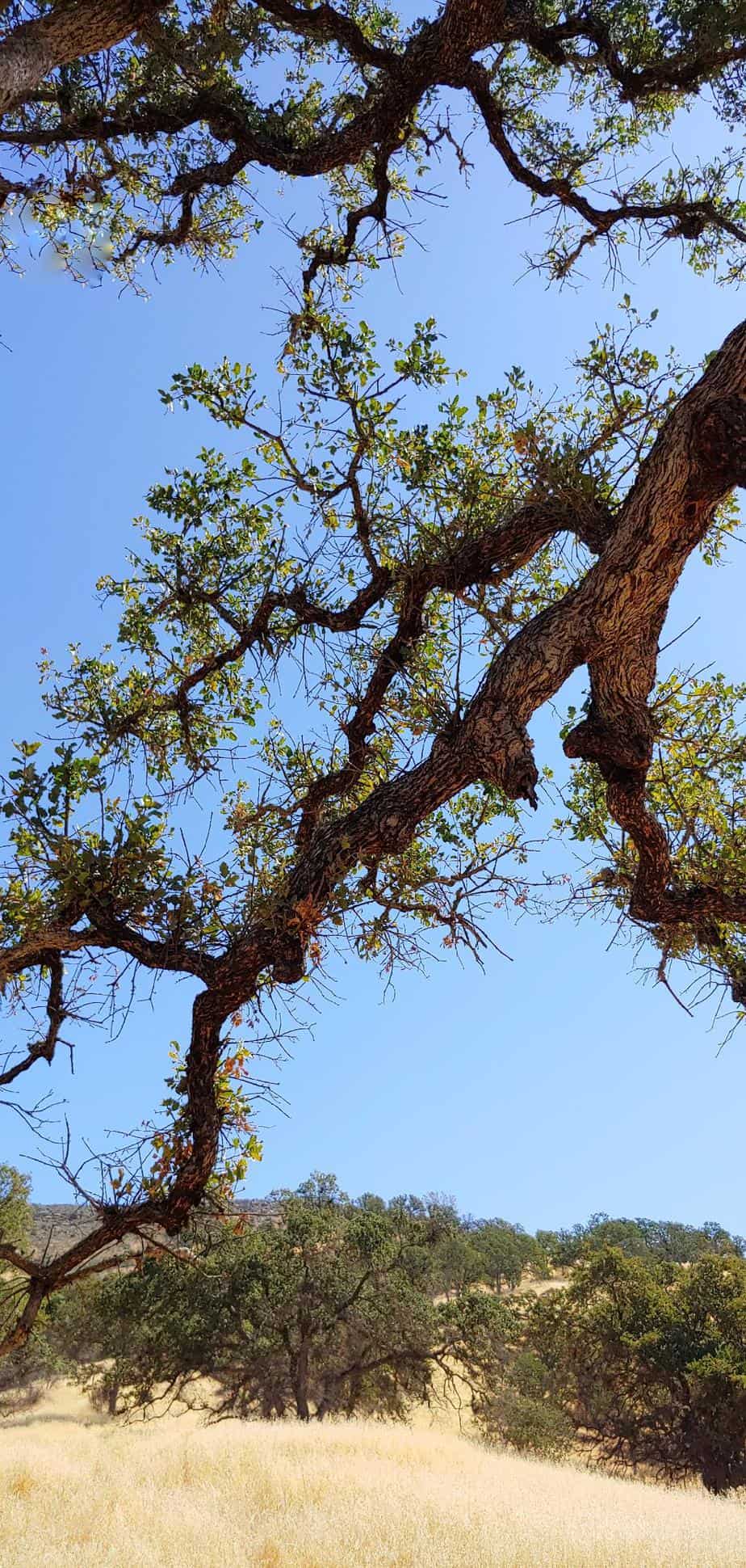
We passed the occasional oak tree, which provided welcome shade, and watched butterflies flitting toward stone-filled creek beds that must have supplied the water they needed, but wouldn’t have sustained our lives.
We reached an intersection marked with a 4×4 lettered “BPT” (Berryessa Peak Trail). While the ranch road continued ahead, we turned right (south) to start some climbing into the hills. We continued another mile or so, then found a good place to sit under an oak tree and have our lunch.
We’ll return when it’s cooler
It was time for us to turn back so we would miss the worst of any commute traffic. We noted that it was 97 degrees–and as we had read, “THIS IS NOT A SUMMER HIKE.”
We both felt that we had been prepared for the high temperature, but we would have needed much more water than the two liters we were carrying to safely go much further. Besides, we want to do this peak, and camp out, with our hiking buddies Tom and Patricia under more favorable hiking conditions!
Meanwhile, if you decide to go for it, click here for details, maps, and more.